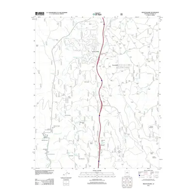
2011 Map of Mountainaire
USGS Topo · Published 2011About this map
Kachina Village and Mountainaire represent the primary residential pockets south of Flagstaff in this modern survey, surrounded by the diverse geography of the Coconino National Forest. The terrain is marked by deep cuts like Fry Canyon and Kelly Canyon, with the corridor of the S Old Munds Hwy providing historical context for regional travel before the dominance of the interstate. A complex network of water features, including Mortgage Spring and Landon Spring, underscores the critical importance of water management in this high-elevation landscape.
Find a feature on this map
88 named features on this map. Tap any name to fly to it.
Don’t see what you’re looking for? This feature index may not catch every label — zoom into the map to look around manually.
Map Details
Editions of this 2011 Mountainaire Map
This is the sole edition of this map. No revisions or reprints were ever made.
Other maps of this area

1886 · San Francisco Mtns
USGS Topo · 1:250,000

1887 · Verde
USGS Topo · 1:250,000

1891 · San Francisco Mtns
USGS Topo · 1:250,000

1892 · Verde
USGS Topo · 1:250,000

1894 · San Francisco Mtns
USGS Topo · 1:250,000

1899 · San Francisco Mtns
USGS Topo · 1:250,000

1908 · Flagstaff
USGS Topo · 1:125,000

1912 · Flagstaff
USGS Topo · 1:125,000

1923 · Camp Verde
USGS Topo · 1:125,000

1932 · Camp Verde
USGS Topo · 1:125,000