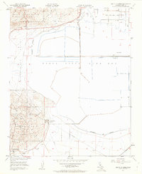
1950 Map of Mouth of Kern
USGS Topo · Published 1962About this map
Industrial energy production and water management dominate this landscape of the San Joaquin Valley. The southern half of the sheet is largely occupied by the Buena Vista Lake Bed, marked by an extensive system of levees, irrigation ditches, and a canal network featuring an inlet and outlet. Tracing the Approximate Old Shoreline reveals the historical extent of the water before land reclamation transformed the basin.
Find a feature on this map
26 named features on this map. Tap any name to fly to it.
Don’t see what you’re looking for? This feature index may not catch every label — zoom into the map to look around manually.
Map Details
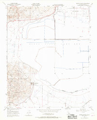
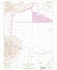
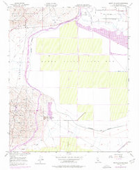
Editions of this 1950 Mouth of Kern Map
4 editions found
Other maps of this area

1910 · Buena Vista Lake
USGS Topo · 1:125,000

1912 · Buena Vista Lake
USGS Topo · 1:125,000

1929 · Stevens
USGS Topo · 1:31,680

1929 · Coles Levee
USGS Topo · 1:31,680

1929 · Mouth of Kern
USGS Topo · 1:31,680

1930 · Millux
USGS Topo · 1:31,680

1931 · Pentland Junction
USGS Topo · 1:31,680

1931 · Hayes Ranch
USGS Topo · 1:31,680

1932 · East Elk Hills
USGS Topo · 1:31,680

1932 · Mouth of Kern
USGS Topo · 1:31,680