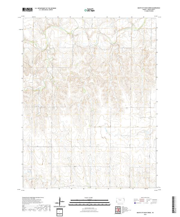
2022 Map of Mouth of Shaw Creek
USGS Topo · Published 2022About this map
The Saline River cuts through the northern reaches of this Trego County landscape, carving a winding path across the high plains of western Kansas. This rural area is defined by a systematic grid of section roads, including B RD and H RD, which facilitate movement across the dissected terrain. The drainage network is particularly detailed, showing the convergence of intermittent waterways such as Shaw Cr and E Spring Cr as they move toward the larger river valley. Surveyed in the modern era, the map provides a precise look at the Public Land Survey System divisions, clearly marking the boundaries of t11s r22w and t12s r21w. This topography reveals the intricate erosion patterns of the Kansas plains, where small tributaries like Spring Cr create a complex series of draws and ridges between the established agricultural blocks.
Find a feature on this map
17 named features on this map. Tap any name to fly to it.
Don’t see what you’re looking for? This feature index may not catch every label — zoom into the map to look around manually.
Map Details
Editions of this 2022 Mouth of Shaw Creek Map
This is the sole edition of this map. No revisions or reprints were ever made.
Other maps of this area

1893 · Ellis
USGS Topo · 1:125,000

1893 · Hill
USGS Topo · 1:125,000

1955 · Great Bend
USGS Topo · 1:250,000

1955 · Beloit
USGS Topo · 1:250,000

1957 · Great Bend
USGS Topo · 1:250,000

1958 · Great Bend
USGS Topo · 1:250,000

1959 · Beloit
USGS Topo · 1:250,000
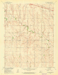
1960 · Trego Center NE
USGS Topo · 1:24,000
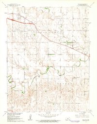
1961 · Ogallah
USGS Topo · 1:24,000
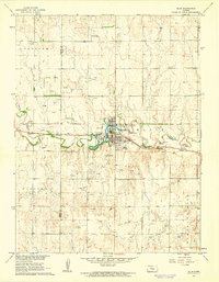
1961 · Ellis
USGS Topo · 1:24,000