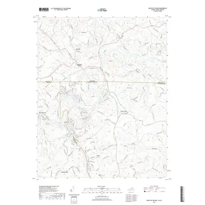
2019 Map of Mouth of Wilson
USGS Topo · Published 2019About this map
The New River carves a winding path through the Blue Ridge foothills along the border of North Carolina and Virginia, defining the landscape of Ashe and Alleghany counties. The settlement of Mouth of Wilson serves as a northern anchor where Wilson Creek joins the main river, while to the south, Chestnut Hill and Piney Creek dot the countryside. This region is characterized by small, dispersed communities linked by narrow roads like Potato Creek Rd and Fox Creek Rd. Local history is preserved in several rural burial grounds, including Fox Union Cem, Potato Creek Cem, and New River Cem, which often represent the only remaining physical markers of long-standing family ties to these hills. The confluence of the North Fork New River and South Fork New River near Jacks Bottom highlights the complex hydrology that historically shaped local travel and property lines.
Find a feature on this map
163 named features on this map. Tap any name to fly to it.
Don’t see what you’re looking for? This feature index may not catch every label — zoom into the map to look around manually.
Map Details
Editions of this 2019 Mouth of Wilson Map
This is the sole edition of this map. No revisions or reprints were ever made.
Other maps of this area

1889 · Wytheville
USGS Topo · 1:125,000

1889 · Wilkesboro
USGS Topo · 1:125,000

1891 · Wilkesboro
USGS Topo · 1:125,000

1892 · Wytheville
USGS Topo · 1:125,000

1930 · Independence
USGS Topo · 1:48,000

1933 · Independence
USGS Topo · 1:62,500

1935 · Mouth of Wilson
USGS Topo · 1:48,000
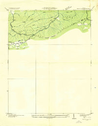
1935 · Trout Dale
USGS Topo · 1:24,000

1935 · Middle Fox Creek
USGS Topo · 1:24,000

1940 · Mouth of Wilson
USGS Topo · 1:62,500