1965 Map of Moyie Springs
USGS Topo · Published 1982About this map
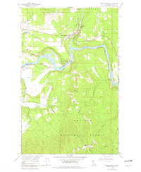
Moyie Springs serves as the focal point for this mid-1960s survey, situated at the dramatic confluence of the Moyie River and the Kootenai River. The map reveals a landscape defined by heavy industry and critical transportation corridors, including the Spokane International and Great Northern railroads that parallel the riverbanks. Beyond the industrial presence of a Powerplant and various Borrow Pits, the map documents local civic life through the Sheridan School and Evergreen Sch. The topography rises sharply into the Kaniksu National Forest, where heights like Two Tail Peak overlook a network of pack trails such as the Leonia Trail and Gable Creek Trail. This record is particularly valuable for tracing the hydraulic and rail infrastructure that sustained these northern Idaho settlements during the mid-twentieth century.
Find a feature on this map
41 named features on this map. Tap any name to fly to it.
Don’t see what you’re looking for? This feature index may not catch every label — zoom into the map to look around manually.
Map Details
Editions of this 1965 Moyie Springs Map
2 editions found
Other maps of this area

1911 · Priest Lake
USGS Topo · 1:250,000

1913 · Priest Lake
USGS Topo · 1:250,000

1958 · Sandpoint
USGS Topo · 1:250,000

1963 · Sandpoint
USGS Topo · 1:250,000
1965 · Curley Creek
USGS Topo · 1:24,000
1965 · Meadow Creek
USGS Topo · 1:24,000
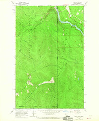
1965 · Leonia
USGS Topo · 1:24,000
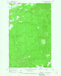
1965 · Twentymile Creek
USGS Topo · 1:24,000
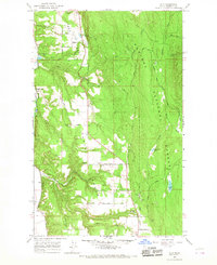
1965 · Ritz
USGS Topo · 1:24,000
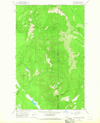
1965 · Line Point
USGS Topo · 1:24,000