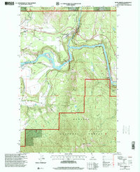
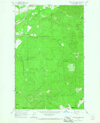
1996 Map of Moyie Springs
USGS Topo · Published 1999About this map
Moyie Springs serves as the focal point of this northern Idaho survey, situated where the Moyie River joins the larger Kootenai River. The landscape is a study in the region's industrial and educational history, showing the working landscape of the Kaniksu National Forest during the mid-1990s. Resource extraction and local infrastructure are well-documented, from the sawmill near the river junction to a Quarry and several gravel pits scattered near the rail lines.
Find a feature on this map
31 named features on this map. Tap any name to fly to it.
Don’t see what you’re looking for? This feature index may not catch every label — zoom into the map to look around manually.
Map Details
Editions of this 1996 Moyie Springs Map
This is the sole edition of this map. No revisions or reprints were ever made.
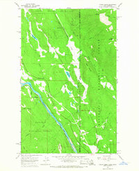
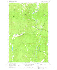
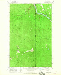
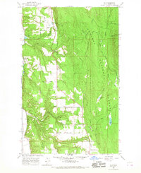
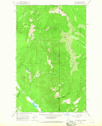
Other maps of this area

1911 · Priest Lake
USGS Topo · 1:250,000

1913 · Priest Lake
USGS Topo · 1:250,000

1958 · Sandpoint
USGS Topo · 1:250,000

1963 · Sandpoint
USGS Topo · 1:250,000
1965 · Curley Creek
USGS Topo · 1:24,000
1965 · Meadow Creek
USGS Topo · 1:24,000
1965 · Leonia
USGS Topo · 1:24,000
1965 · Twentymile Creek
USGS Topo · 1:24,000
1965 · Ritz
USGS Topo · 1:24,000
1965 · Line Point
USGS Topo · 1:24,000