
1965 Map of Twentymile Creek
USGS Topo · Published 1967About this map
Paradise Valley marks the northern extent of this mid-1960s survey, where the relatively level terrain of the valley floor meets the dense woodlands of the Kaniksu National Forest. The landscape is defined by its network of watercourses and high ridges, including Twentymile Creek and Grouse Creek, which drain the surrounding peaks. Human activity is evidenced by a complex system of transportation routes, including a pipeline corridor, several pack trails, and jeep trails that navigate the high country.
Find a feature on this map
29 named features on this map. Tap any name to fly to it.
Don’t see what you’re looking for? This feature index may not catch every label — zoom into the map to look around manually.
Map Details
Editions of this 1965 Twentymile Creek Map
This is the sole edition of this map. No revisions or reprints were ever made.
Other maps of this area

1911 · Priest Lake
USGS Topo · 1:250,000

1913 · Priest Lake
USGS Topo · 1:250,000

1951 · Mt Pend Oreille
USGS Topo · 1:62,500

1951 · Elmira
USGS Topo · 1:62,500

1958 · Sandpoint
USGS Topo · 1:250,000

1963 · Sandpoint
USGS Topo · 1:250,000

1965 · Moravia
USGS Topo · 1:24,000
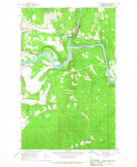
1965 · Moyie Springs
USGS Topo · 1:24,000

1965 · Naples
USGS Topo · 1:24,000
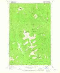
1965 · Clifty Mtn
USGS Topo · 1:24,000