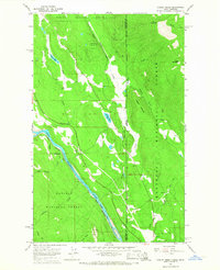
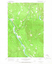
1965 Map of Curley Creek
USGS Topo · Published 1967About this map
The Kootenai River defines the southwestern corridor of this mid-1960s survey, marking a vital transit point where the Great Northern railroad tracks parallel the water. This rugged borderland between Idaho and Montana is heavily forested, split between the Kaniksu National Forest and the Kootenai National Forest. Human presence is concentrated along the narrow valley floors and specific extraction points, such as the Homestake Mine and various Borrow Pit locations used for local construction.
Find a feature on this map
27 named features on this map. Tap any name to fly to it.
Don’t see what you’re looking for? This feature index may not catch every label — zoom into the map to look around manually.
Map Details
Editions of this 1965 Curley Creek Map
Other maps of this area

1911 · Priest Lake
USGS Topo · 1:250,000

1913 · Priest Lake
USGS Topo · 1:250,000

1957 · Kalispell
USGS Topo · 1:250,000

1958 · Sandpoint
USGS Topo · 1:250,000

1960 · Kalispell
USGS Topo · 1:250,000

1961 · Kalispell
USGS Topo · 1:250,000

1963 · Sandpoint
USGS Topo · 1:250,000

1963 · Mount Baldy
USGS Topo · 1:24,000
1963 · Newton Mountain
USGS Topo · 1:24,000
1963 · Kilbrennan Lake
USGS Topo · 1:24,000