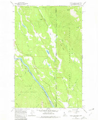
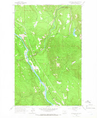
1965 Map of Curley Creek
USGS Topo · Published 1980About this map
The Kootenai River carves through this rugged borderland in the mid-1960s, marking the transition between the Kaniksu and Kootenai National Forests. The Great Northern railroad tracks parallel the river's bend, reflecting the critical transport corridor connecting northern Idaho to the Montana line. High-elevation landmarks like Haystack Mountain and Leonia Knob overlook a landscape dotted with isolated evidence of early 20th-century industry and infrastructure, including the Homestake Mine and Central Sch. Water features such as Bonner Lake and Herman Lake sit amidst the dense forest, while numerous creeks like Sand Creek and Kingsley Creek drain the steep mountain gulches. This survey provides a precise look at the backcountry roads and jeep trails that defined movement through the Idaho-Montana panhandle before modern development altered these remote forest boundaries.
Find a feature on this map
30 named features on this map. Tap any name to fly to it.
Don’t see what you’re looking for? This feature index may not catch every label — zoom into the map to look around manually.
Map Details
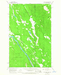
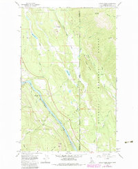
Editions of this 1965 Curley Creek Map
Other maps of this area

1911 · Priest Lake
USGS Topo · 1:250,000

1913 · Priest Lake
USGS Topo · 1:250,000

1957 · Kalispell
USGS Topo · 1:250,000

1958 · Sandpoint
USGS Topo · 1:250,000

1960 · Kalispell
USGS Topo · 1:250,000

1961 · Kalispell
USGS Topo · 1:250,000

1963 · Sandpoint
USGS Topo · 1:250,000

1963 · Mount Baldy
USGS Topo · 1:24,000
1963 · Newton Mountain
USGS Topo · 1:24,000
1963 · Kilbrennan Lake
USGS Topo · 1:24,000