
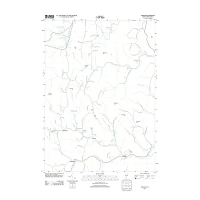
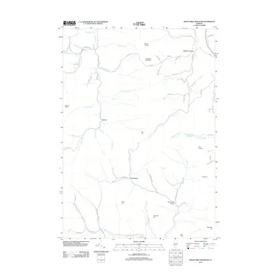
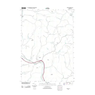
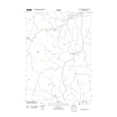
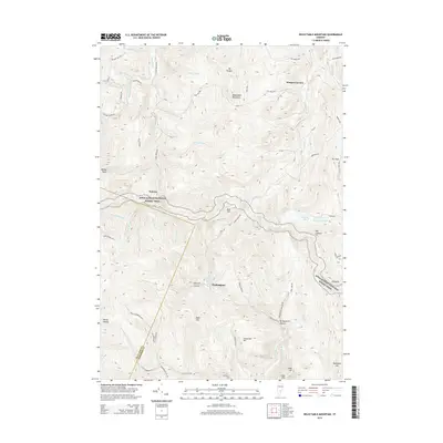
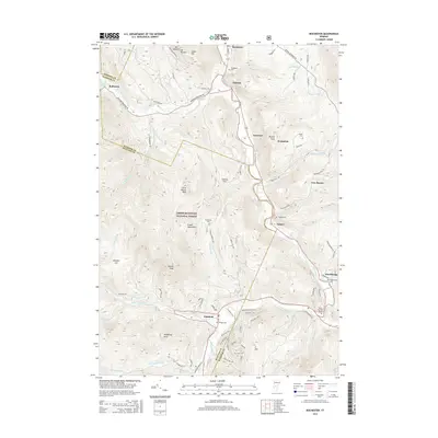
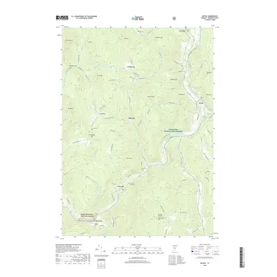
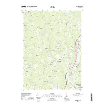
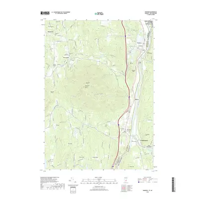
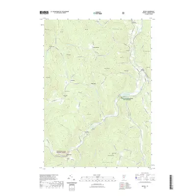
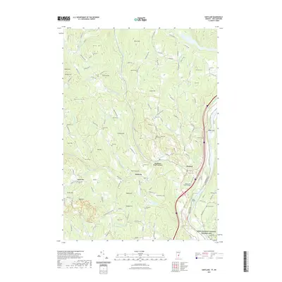
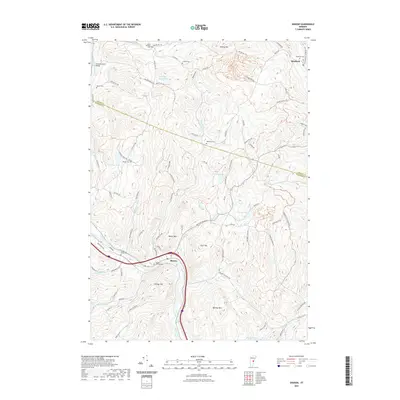
1984 Map of Mt. Ascutney
USGS Topo · Published 1984About this map
The Connecticut River serves as the central artery and state boundary for this 1980s-era topographical survey, which covers the rugged Vermont-New Hampshire borderlands. On the Vermont side, the massive rise of Mt Ascutney dominates the landscape, protected within Ascutney State Park and neighboring wildlife management areas. The town of Windsor occupies the river plain, showing a mix of institutional and civic life through labels like the Mt Ascutney Hospital and a Residential Treatment Facility (Prison).
Find a feature on this map
79 named features on this map. Tap any name to fly to it.
Don’t see what you’re looking for? This feature index may not catch every label — zoom into the map to look around manually.
Map Details
Editions of this 1984 Mt. Ascutney Map
2 editions found
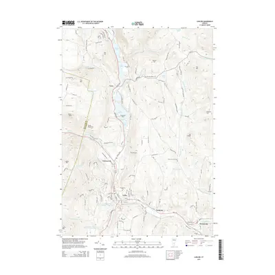
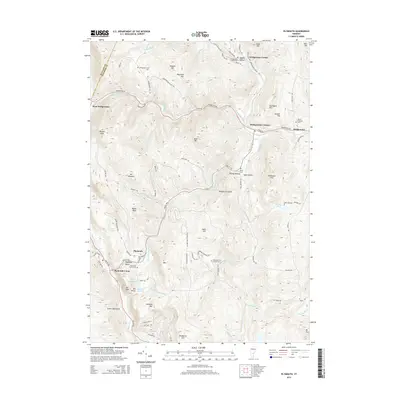
Historical Maps of Claremont Through Time
105 maps found

1906 Hanover
Windsor County, VT

1908 Hanover
Windsor County, VT

1911 Woodstock
Windsor County, VT

1913 Woodstock
Windsor County, VT

1919 Royalton
Windsor County, VT

1924 Randolph
Windsor County, VT

1926 Randolph
Windsor County, VT

1928 Ludlow
Windsor County, VT

1929 Ludlow
Windsor County, VT

1932 Ludlow
Windsor County, VT

1943 Woodstock
Windsor County, VT

1957 Randolph
Windsor County, VT

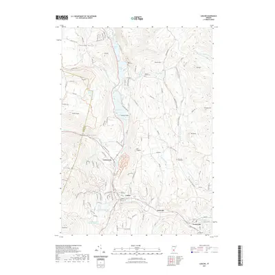
1959 Hartland
Windsor County, VT

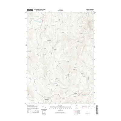
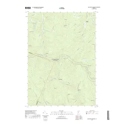
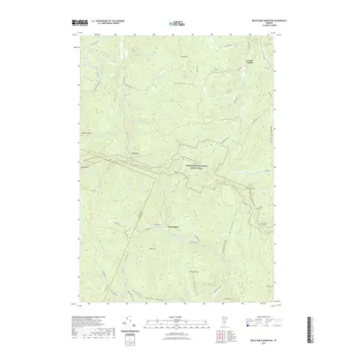
1966 Delectable Mountain
Windsor County, VT

1966 Plymouth
Windsor County, VT

1966 Woodstock North
Windsor County, VT

1966 Woodstock South
Windsor County, VT

1970 Rochester
Windsor County, VT

1971 Andover
Windsor County, VT

1971 Ludlow
Windsor County, VT

1972 Cavendish
Windsor County, VT

1972 Chester
Windsor County, VT

1976 Woodstock North
Windsor County, VT

1980 Bethel
Windsor County, VT

1981 Sharon
Windsor County, VT

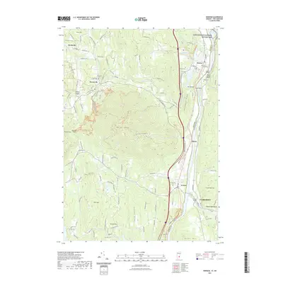
1984 Mt. Ascutney
Windsor County, VT

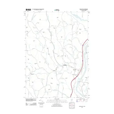
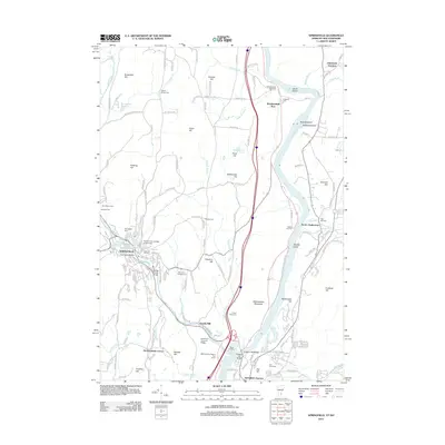
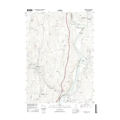
1984 Springfield
Windsor County, VT

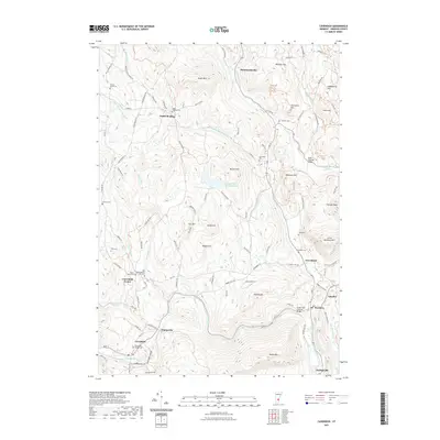
1996 Delectable Mountain
Windsor County, VT

1997 Ludlow
Windsor County, VT

1997 Rochester
Windsor County, VT

1997 Woodstock North
Windsor County, VT

1998 Hartland
Windsor County, VT

1998 Springfield
Windsor County, VT

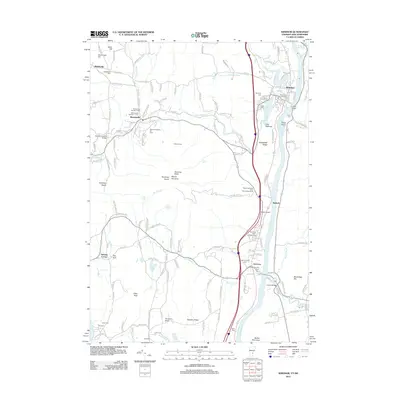
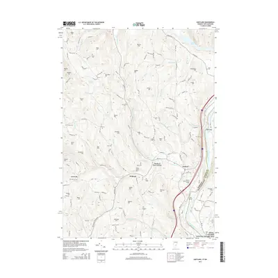
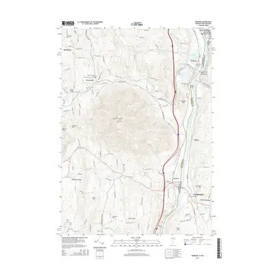
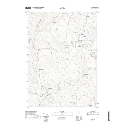
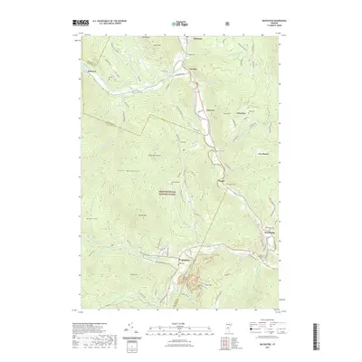
1998 Windsor
Windsor County, VT

1998 Woodstock South
Windsor County, VT
2012 Andover
Windsor County, VT
2012 Bethel
Windsor County, VT
2012 Cavendish
Windsor County, VT
2012 Chester
Windsor County, VT
2012 Delectable Mountain
Windsor County, VT
2012 Hartland
Windsor County, VT

2012 Ludlow
Windsor County, VT
2012 Plymouth
Windsor County, VT
2012 Rochester
Windsor County, VT
2012 Sharon
Windsor County, VT
2012 Springfield
Windsor County, VT
2012 Windsor
Windsor County, VT
2012 Woodstock North
Windsor County, VT
2012 Woodstock South
Windsor County, VT
2015 Andover
Windsor County, VT
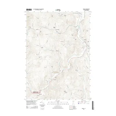
2015 Bethel
Windsor County, VT

2015 Cavendish
Windsor County, VT
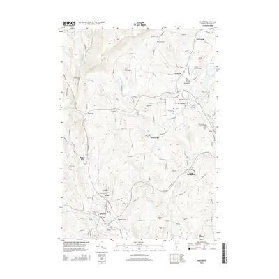
2015 Chester
Windsor County, VT
2015 Delectable Mountain
Windsor County, VT
2015 Hartland
Windsor County, VT
2015 Ludlow
Windsor County, VT
2015 Plymouth
Windsor County, VT
2015 Rochester
Windsor County, VT

2015 Sharon
Windsor County, VT
2015 Springfield
Windsor County, VT
2015 Windsor
Windsor County, VT
2015 Woodstock North
Windsor County, VT

2015 Woodstock South
Windsor County, VT

2018 Andover
Windsor County, VT
2018 Bethel
Windsor County, VT
2018 Cavendish
Windsor County, VT
2018 Chester
Windsor County, VT
2018 Delectable Mountain
Windsor County, VT
2018 Hartland
Windsor County, VT

2018 Ludlow
Windsor County, VT
2018 Plymouth
Windsor County, VT
2018 Rochester
Windsor County, VT
2018 Sharon
Windsor County, VT

2018 Springfield
Windsor County, VT
2018 Windsor
Windsor County, VT
2018 Woodstock North
Windsor County, VT
2018 Woodstock South
Windsor County, VT
2021 Andover
Windsor County, VT
2021 Bethel
Windsor County, VT
2021 Cavendish
Windsor County, VT
2021 Chester
Windsor County, VT
2021 Delectable Mountain
Windsor County, VT
2021 Hartland
Windsor County, VT
2021 Ludlow
Windsor County, VT
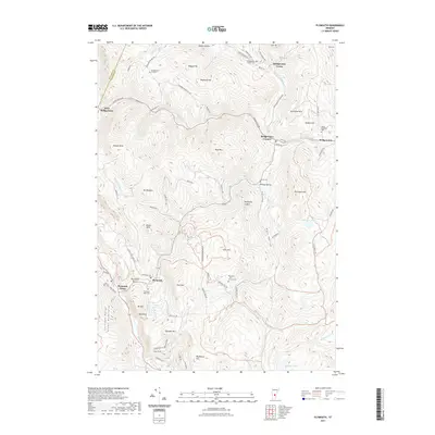
2021 Plymouth
Windsor County, VT
2021 Rochester
Windsor County, VT
2021 Sharon
Windsor County, VT

2021 Springfield
Windsor County, VT
2021 Windsor
Windsor County, VT

2021 Woodstock North
Windsor County, VT
2021 Woodstock South
Windsor County, VT

2024 Andover
Windsor County, VT

2024 Bethel
Windsor County, VT

2024 Cavendish
Windsor County, VT

2024 Chester
Windsor County, VT

2024 Delectable Mountain
Windsor County, VT

2024 Hartland
Windsor County, VT

2024 Ludlow
Windsor County, VT

2024 Plymouth
Windsor County, VT

2024 Rochester
Windsor County, VT

2024 Sharon
Windsor County, VT

2024 Springfield
Windsor County, VT

2024 Windsor
Windsor County, VT

2024 Woodstock North
Windsor County, VT

2024 Woodstock South
Windsor County, VT