
1952 Map of Mt. Baker
USGS Topo · Published 1954About this map
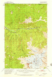
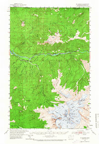
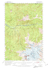
The summit of Mt Baker and its massive surrounding glacial system dominate this mid-century survey of the North Cascades. From the Summit Crater and Roman Wall, the map traces an extensive radial network of ice, including the Mazama Glacier, Deming Glacier, and Coleman Glacier. This high-altitude landscape is characterized by prominent ridges like Chowder Ridge and the Skyline Divide, which separate the myriad creeks flowing toward the Nooksack River.
Find a feature on this map
93 named features on this map. Tap any name to fly to it.
Don’t see what you’re looking for? This feature index may not catch every label — zoom into the map to look around manually.
Map Details
Editions of this 1952 Mt. Baker Map
4 editions found
Other maps of this area

1909 · Mt Baker
USGS Topo · 1:192,000

1915 · Mt. Baker
USGS Topo · 1:250,000

1919 · Van Zandt
USGS Topo · 1:62,500

1921 · Wickersham
USGS Topo · 1:62,500

1951 · Wickersham
USGS Topo · 1:62,500

1951 · Van Zandt
USGS Topo · 1:62,500

1952 · Lake Shannon
USGS Topo · 1:62,500

1952 · Hamilton
USGS Topo · 1:62,500

1953 · Mt Shuksan
USGS Topo · 1:62,500

1955 · Concrete
USGS Topo · 1:250,000