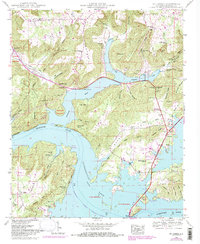
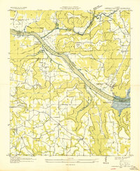
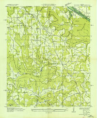
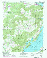
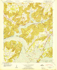
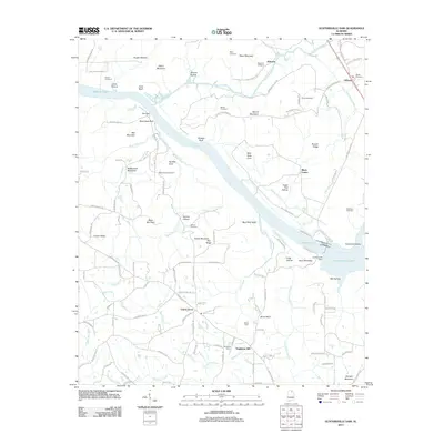
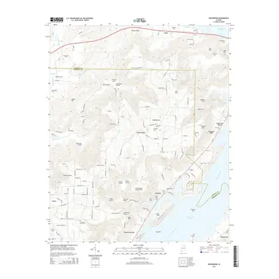
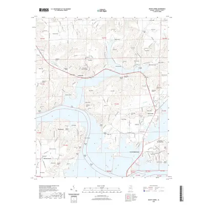
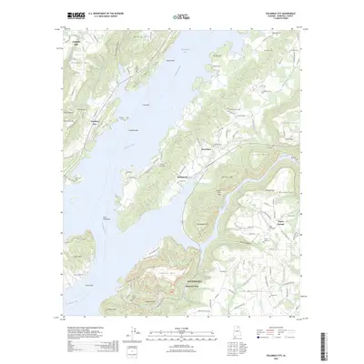
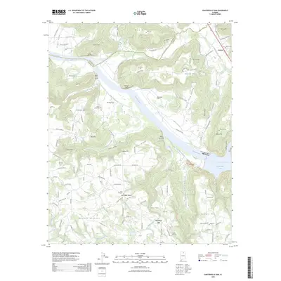
1948 Map of Mt Carmel
USGS Topo · Published 1984About this map
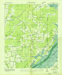
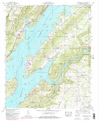
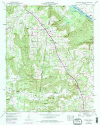
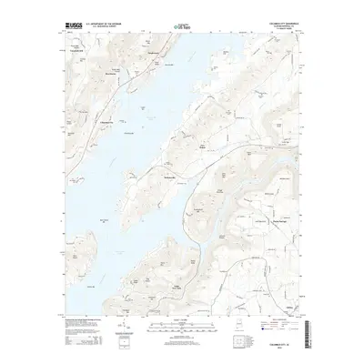
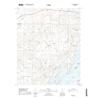
Guntersville Lake dominates this mid-century landscape of Marshall County, Alabama, where the rising waters of the Tennessee Valley Authority project redefined the region's geography. The map reveals a transition from the agricultural lowlands to the high ridges of Gunters Mountain and Grassy Mountain. Significant local landmarks include the Guntersville Municipal Airport and the Guntersville Lake Yacht Club, marking the area's development into a hub for regional recreation and aviation.
Find a feature on this map
62 named features on this map. Tap any name to fly to it.
Don’t see what you’re looking for? This feature index may not catch every label — zoom into the map to look around manually.
Map Details
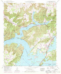
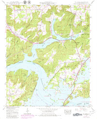
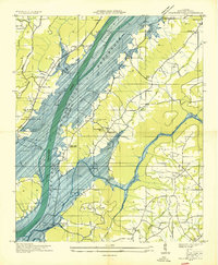
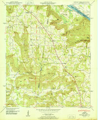
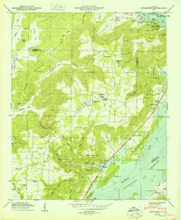
Editions of this 1948 Mt Carmel Map
3 editions found
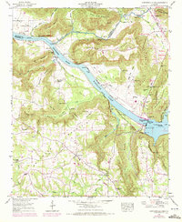
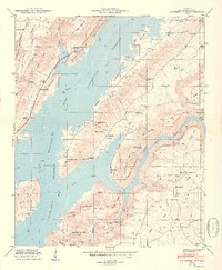
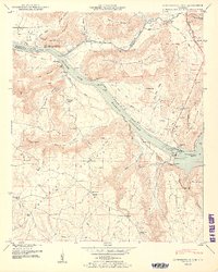
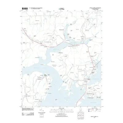
Historical Maps of Guntersville Through Time
46 maps found
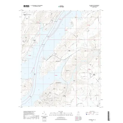
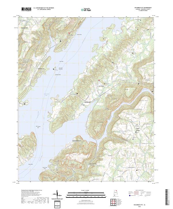
1936 Columbus City
Marshall County, AL
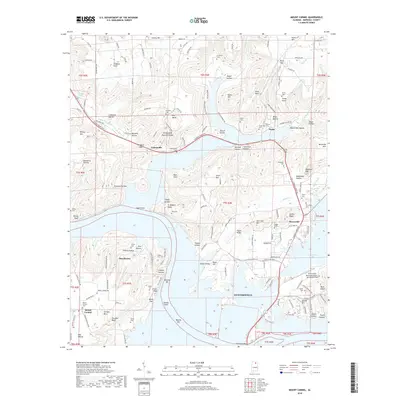
1936 Guntersville Dam
Marshall County, AL
1936 High Point
Marshall County, AL
1936 Mountainboro
Marshall County, AL
1936 Mt Carmel
Marshall County, AL
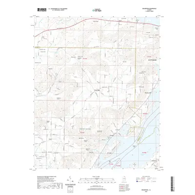
1936 Newsome Sinks
Marshall County, AL
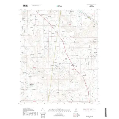
1936 Swearengin
Marshall County, AL
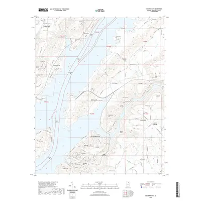
1947 Columbus City
Marshall County, AL
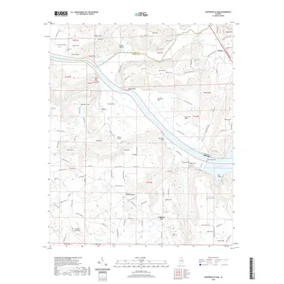
1947 Newsome Sinks
Marshall County, AL
1947 Swearengin
Marshall County, AL
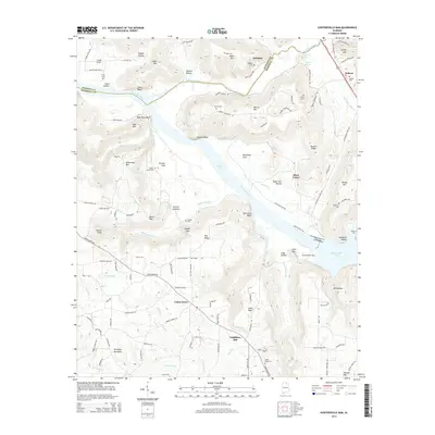
1948 Guntersville Dam
Marshall County, AL
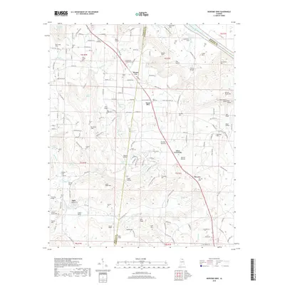
1948 Mt Carmel
Marshall County, AL
1949 Columbus City
Marshall County, AL
1950 Guntersville Dam
Marshall County, AL
1950 Mt Carmel
Marshall County, AL
1950 Newsome Sinks
Marshall County, AL
1950 Swearengin
Marshall County, AL

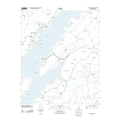
1984 Mt Carmel
Marshall County, AL
2011 Columbus City
Marshall County, AL
2011 Guntersville Dam
Marshall County, AL
2011 Mount Carmel
Marshall County, AL
2011 Newsome Sinks
Marshall County, AL
2011 Swearengin
Marshall County, AL
2014 Columbus City
Marshall County, AL
2014 Guntersville Dam
Marshall County, AL
2014 Mount Carmel
Marshall County, AL
2014 Newsome Sinks
Marshall County, AL
2014 Swearengin
Marshall County, AL
2018 Columbus City
Marshall County, AL
2018 Guntersville Dam
Marshall County, AL
2018 Mount Carmel
Marshall County, AL
2018 Newsome Sinks
Marshall County, AL
2018 Swearengin
Marshall County, AL
2020 Columbus City
Marshall County, AL
2020 Guntersville Dam
Marshall County, AL
2020 Mount Carmel
Marshall County, AL
2020 Newsome Sinks
Marshall County, AL
2020 Swearengin
Marshall County, AL
2024 Columbus City
Marshall County, AL
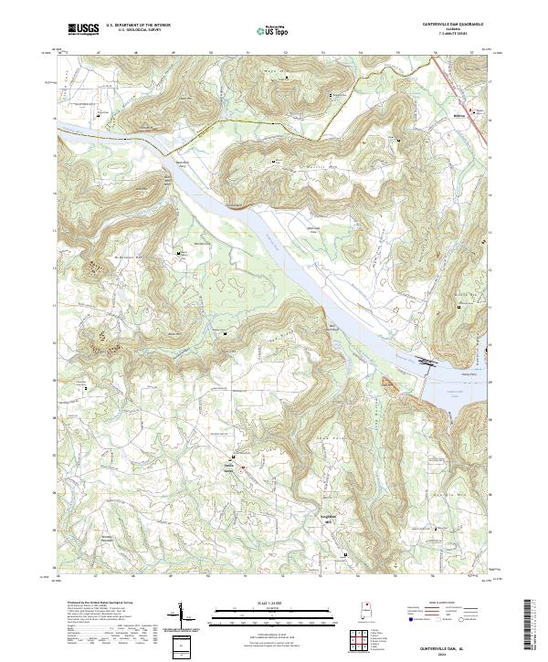
2024 Guntersville Dam
Marshall County, AL
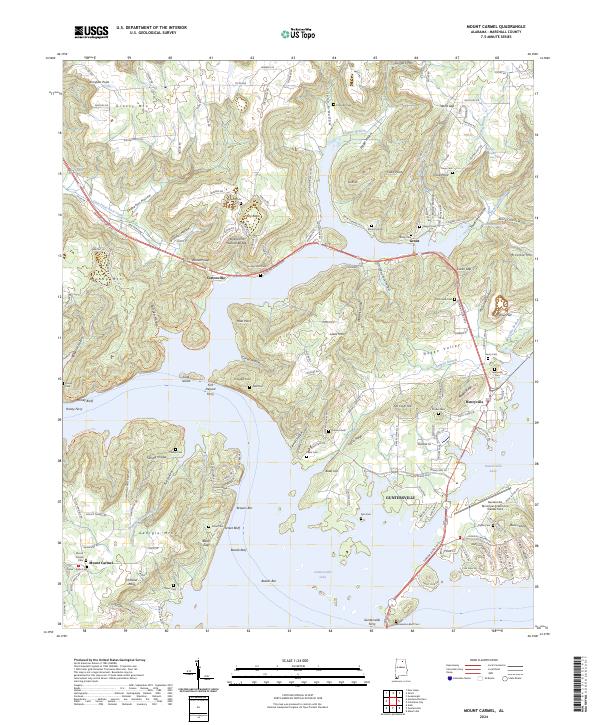
2024 Mount Carmel
Marshall County, AL

2024 Newsome Sinks
Marshall County, AL
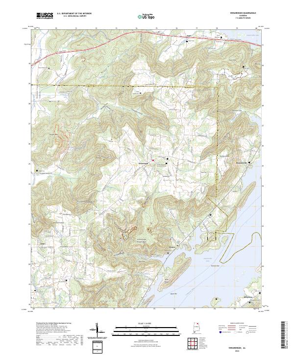
2024 Swearengin
Marshall County, AL
2026 Columbus City
Marshall County, AL
2026 Guntersville Dam
Marshall County, AL
2026 Newsome Sinks
Marshall County, AL