
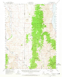
1956 Map of Mt. Grant
USGS Topo · Published 1957About this map
The Wassuk Range dominates this mid-century landscape, rising sharply between the East Walker River and the high-elevation waters of Walker Lake. The map details a rugged transition from the river valley, where the East Walker School and Flying M Ranch suggest a sparse but established ranching presence, to the towering heights of Mt Grant and Pike Peak. Significant acreage is dedicated to the Naval Reservation on the eastern slopes, while the western portion falls within the Toiyabe National Forest. Local industrial history is marked by scattered Prospects and a Shaft near Wheeler Pass, indicating small-scale mining efforts tucked into the canyons. Water sources like Chipmunk Spring and Mitchell Spr are critical features in this arid environment, feeding various drainages such as Lapon Canyon and Cottonwood Creek.
Find a feature on this map
34 named features on this map. Tap any name to fly to it.
Don’t see what you’re looking for? This feature index may not catch every label — zoom into the map to look around manually.
Map Details
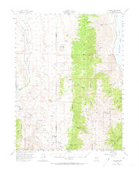
Editions of this 1956 Mt. Grant Map
3 editions found
Other maps of this area

1891 · Wellington
USGS Topo · 1:125,000

1893 · Wellington
USGS Topo · 1:125,000

1909 · Hawthorne
USGS Topo · 1:250,000

1909 · Bridgeport
USGS Topo · 1:125,000

1911 · Bridgeport
USGS Topo · 1:125,000

1911 · Hawthorne
USGS Topo · 1:250,000

1915 · Hawthorne
USGS Topo · 1:250,000

1920 · Bridgeport
USGS Topo · 1:125,000

1948 · Walker Lake
USGS Topo · 1:250,000

1955 · Powell Mtn
USGS Topo · 1:62,500