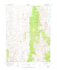
1956 Map of Mt. Grant
USGS Topo · Published 1973About this map
The Wassuk Range dominates this mid-century western Nevada landscape, rising sharply between the East Walker River valley and the western shores of Walker Lake. This era shows a transition in land use, where high-altitude peaks like Mt Grant and Pike Peak overlook a mix of agricultural and military holdings. The eastern slopes are defined by the Naval Reservation Boundary, while the western lowlands feature the Flying M Ranch and the East Walker School, providing a rare look at the sparse rural infrastructure of Mineral County during the 1950s.
Find a feature on this map
33 named features on this map. Tap any name to fly to it.
Don’t see what you’re looking for? This feature index may not catch every label — zoom into the map to look around manually.
Map Details
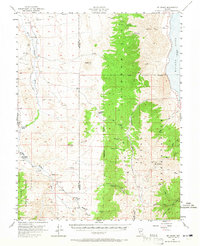
Editions of this 1956 Mt. Grant Map
3 editions found

Other maps of this area

1891 · Wellington
USGS Topo · 1:125,000

1893 · Wellington
USGS Topo · 1:125,000

1909 · Hawthorne
USGS Topo · 1:250,000

1909 · Bridgeport
USGS Topo · 1:125,000

1911 · Bridgeport
USGS Topo · 1:125,000

1911 · Hawthorne
USGS Topo · 1:250,000

1915 · Hawthorne
USGS Topo · 1:250,000

1920 · Bridgeport
USGS Topo · 1:125,000

1948 · Walker Lake
USGS Topo · 1:250,000

1955 · Powell Mtn
USGS Topo · 1:62,500