
1954 Map of Mt Peale 4 SW
USGS Topo · Published 1955About this map
Son Spring serves as a critical water source in this arid San Juan County landscape, where the topography is defined by the deep incision of East Pine Hollow and the surrounding plateau. Mapped in the mid-1950s using aerial photography, the area shows evidence of early-decade resource exploration with a marked Mine and Tunnel situated near the head of the canyon systems. This preliminary survey captures the territory before modern development, emphasizing a ranching and prospecting economy supported by various Stock Ponds and a Reservoir. The intricate drainage patterns of Dry Wash and the complex descent into Iron Canyon illustrate the isolation of the Point and Step formations, providing a record of the terrain as it was navigated by post-war surveyors and local land users.
Find a feature on this map
17 named features on this map. Tap any name to fly to it.
Don’t see what you’re looking for? This feature index may not catch every label — zoom into the map to look around manually.
Map Details
Editions of this 1954 Mt Peale 4 SW Map
This is the sole edition of this map. No revisions or reprints were ever made.
Other maps of this area

1885 · La Sal
USGS Topo · 1:250,000

1886 · Abajo
USGS Topo · 1:250,000

1892 · Abajo
USGS Topo · 1:250,000

1893 · Abajo
USGS Topo · 1:250,000

1954 · Mt Peale 4 NE
USGS Topo · 1:24,000

1954 · Mt Peale 4 NW
USGS Topo · 1:24,000

1954 · Mt Peale 3 NE
USGS Topo · 1:24,000

1954 · Mt Peale 3 SE
USGS Topo · 1:24,000
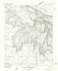
1954 · Mt Peale 4 SE
USGS Topo · 1:24,000
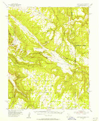
1954 · Lisbon Valley
USGS Topo · 1:62,500