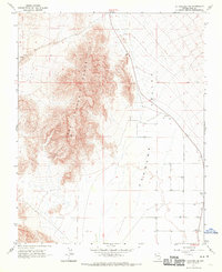
1968 Map of Mt. Schader SE
USGS Topo · Published 1970About this map
The Last Chance Range dominates the western half of this Nevada landscape, showing sharp elevation changes as the mountains descend into the flat expanse of the Pahrump Valley. This 1968 field-checked survey reveals an arid environment defined by water management and resource exploration, with numerous scattered wells providing the primary infrastructure for any activity in the valley. A single prospect located on the northern slopes of the range suggests small-scale mining interests typical of this high desert region. Transport is limited to a network of unimproved routes, including a Jeep Trail that cuts across the valley floor, reflecting the rugged and sparsely populated character of the terrain during the late 1960s.
Find a feature on this map
6 named features on this map. Tap any name to fly to it.
Don’t see what you’re looking for? This feature index may not catch every label — zoom into the map to look around manually.
Map Details
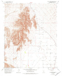
Editions of this 1968 Mt. Schader SE Map
2 editions found
Other maps of this area

1907 · Las Vegas
USGS Topo · 1:250,000

1908 · Furnace Creek
USGS Topo · 1:250,000

1908 · Las Vegas
USGS Topo · 1:250,000

1910 · Furnace Creek
USGS Topo · 1:250,000

1948 · Death Valley
USGS Topo · 1:250,000

1954 · Las Vegas
USGS Topo · 1:250,000

1954 · Death Valley
USGS Topo · 1:250,000

1956 · Death Valley
USGS Topo · 1:250,000

1957 · Las Vegas
USGS Topo · 1:250,000

1957 · Death Valley
USGS Topo · 1:250,000