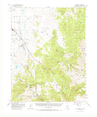
1957 Map of Mt. Siegel
USGS Topo · Published 1973About this map
Gardnerville and the agricultural lands of the Carson Valley define the western edge of this mid-century survey, where the Old Virginia Canal and Rocky DITCH supported ranching operations at the foot of the Pine Nut Mountains. The map reveals the intricate water management system of the era, including the Upper New Virginia Canal and the Edna Wilser Ditch near Dresslerville.
Find a feature on this map
77 named features on this map. Tap any name to fly to it.
Don’t see what you’re looking for? This feature index may not catch every label — zoom into the map to look around manually.
Map Details
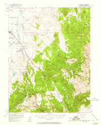
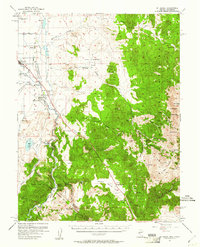
Editions of this 1957 Mt. Siegel Map
3 editions found
Other maps of this area

1889 · Markleeville
USGS Topo · 1:125,000

1891 · Carson
USGS Topo · 1:125,000

1891 · Markleeville
USGS Topo · 1:125,000

1891 · Wabuska
USGS Topo · 1:125,000

1891 · Wellington
USGS Topo · 1:125,000

1893 · Carson
USGS Topo · 1:125,000

1893 · Markleeville
USGS Topo · 1:125,000

1893 · Wellington
USGS Topo · 1:125,000

1894 · Wabuska
USGS Topo · 1:125,000

1948 · Walker Lake
USGS Topo · 1:250,000