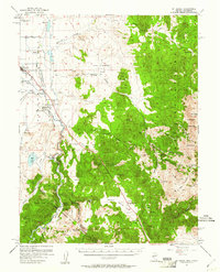
1957 Map of Mt. Siegel
USGS Topo · Published 1981About this map
Gardnerville and the surrounding Carson Valley agricultural district serve as the primary hubs in this late-1950s survey of the Nevada-California borderlands. The landscape transitions from the river-fed fields near Dresslerville to the high mining camps of the Pine Nut Mountains. This map captures a distinct era of regional industry, documenting various high-altitude extraction sites including the Monarch Mine, Danite Mine, and Longfellow Mine, alongside remnants of earlier processing like the Alpine Mill.
Find a feature on this map
61 named features on this map. Tap any name to fly to it.
Don’t see what you’re looking for? This feature index may not catch every label — zoom into the map to look around manually.
Map Details
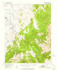
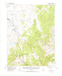
Editions of this 1957 Mt. Siegel Map
3 editions found
Other maps of this area

1889 · Markleeville
USGS Topo · 1:125,000

1891 · Carson
USGS Topo · 1:125,000

1891 · Markleeville
USGS Topo · 1:125,000

1891 · Wabuska
USGS Topo · 1:125,000

1891 · Wellington
USGS Topo · 1:125,000

1893 · Carson
USGS Topo · 1:125,000

1893 · Markleeville
USGS Topo · 1:125,000

1893 · Wellington
USGS Topo · 1:125,000

1894 · Wabuska
USGS Topo · 1:125,000

1948 · Walker Lake
USGS Topo · 1:250,000