
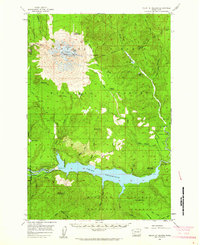
1958 Map of Mt St. Helens
USGS Topo · Published 1959About this map
Mount St Helens stands as the central landmark of this late-1950s survey, showing the peak decades before its 1980 eruption changed the landscape forever. The summit is detailed with features like the Goat Rocks, The Island, and the Sugar Bowl, surrounded by the high-elevation reaches of the Gifford Pinchot National Forest. This era represents a period of developing recreation and timber access, with the newly formed Swift Reservoir and its Spillway 1008 dominating the southern portion of the map along the Lewis River.
Find a feature on this map
64 named features on this map. Tap any name to fly to it.
Don’t see what you’re looking for? This feature index may not catch every label — zoom into the map to look around manually.
Map Details
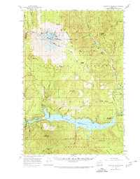
Editions of this 1958 Mt St. Helens Map
3 editions found
Other maps of this area

1919 · Mount St Helens
USGS Topo · 1:125,000

1926 · Steamboat Mtn
USGS Topo · 1:125,000

1926 · Hood River
USGS Topo · 1:125,000

1929 · Hood River
USGS Topo · 1:125,000

1931 · Steamboat Mtn
USGS Topo · 1:125,000

1940 · Lookout Mtn
USGS Topo · 1:62,500

1941 · Yacolt
USGS Topo · 1:62,500

1948 · Vancouver
USGS Topo · 1:250,000

1950 · Vancouver
USGS Topo · 1:250,000

1950 · Vancouver
USGS Topo · 1:250,000