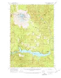
1958 Map of Mt St. Helens
USGS Topo · Published 1968About this map
Mount St Helens dominates the landscape of the Gifford Pinchot National Forest in this 1958 field survey. The mountain is depicted as an active glacial system, featuring named ice flows like Wishbone Glacier, Forsyth Glacier, and Shoestring Glacier radiating from its peak. This detailed record captures the volcanic topography before the 1980 eruption changed its profile forever, showing features such as The Island, The Boot, and Dogs Head near the summit. To the south, the Lewis River is already transformed by the Swift Reservoir, complete with its Spillway 1008 and Levee. Cultural footprints are sparse but significant for researchers, including the Pine Creek Work Center, Timberline Campground, and various backcountry locations like Jackpine Shelter and Butte Camp. The map also identifies the unique geological Lava Caves and the protected Cedar Flats Natural Area, documenting the region's diverse ecological and recreational character in the late 1950s.
Find a feature on this map
71 named features on this map. Tap any name to fly to it.
Don’t see what you’re looking for? This feature index may not catch every label — zoom into the map to look around manually.
Map Details
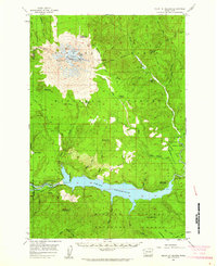
Editions of this 1958 Mt St. Helens Map
3 editions found

Other maps of this area

1919 · Mount St Helens
USGS Topo · 1:125,000

1926 · Steamboat Mtn
USGS Topo · 1:125,000

1926 · Hood River
USGS Topo · 1:125,000

1929 · Hood River
USGS Topo · 1:125,000

1931 · Steamboat Mtn
USGS Topo · 1:125,000

1940 · Lookout Mtn
USGS Topo · 1:62,500

1941 · Yacolt
USGS Topo · 1:62,500

1948 · Vancouver
USGS Topo · 1:250,000

1950 · Vancouver
USGS Topo · 1:250,000

1950 · Vancouver
USGS Topo · 1:250,000