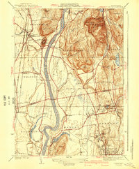
1941 Map of Mt Toby
USGS Topo · Published 1941About this map
The Connecticut River carves a deep valley through the heart of the Pioneer Valley, framed by the dramatic heights of the Pocumtuck Range and Mt Toby. This 1935 survey captures a bustling agricultural and academic landscape during the pre-war era, showing the extensive campus of Massachusetts State College in Amherst before its mid-century expansion. The map documents an intricate transportation network where the Boston and Maine Railroad, New York New Haven and Hartford Railroad, and Central Vermont Railway converge to serve local industry and agriculture.
Find a feature on this map
69 named features on this map. Tap any name to fly to it.
Don’t see what you’re looking for? This feature index may not catch every label — zoom into the map to look around manually.
Map Details
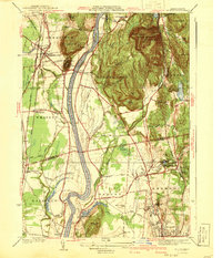
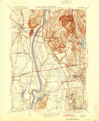
Editions of this 1941 Mt Toby Map
3 editions found
Other maps of this area

1885 · Northampton
USGS Topo · 1:62,500

1886 · Northampton
USGS Topo · 1:62,500

1887 · Warwick
USGS Topo · 1:62,500

1887 · Belchertown
USGS Topo · 1:62,500

1889 · Warwick
USGS Topo · 1:62,500

1890 · Belchertown
USGS Topo · 1:62,500

1890 · Greenfield
USGS Topo · 1:62,500

1891 · Northampton
USGS Topo · 1:62,500

1893 · Northampton
USGS Topo · 1:62,500

1893 · Belchertown
USGS Topo · 1:62,500