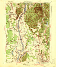
1941 Map of Mt Toby
USGS Topo · Published 1941About this map
The Connecticut River carves a wide path through this 1941 edition map, defining the agricultural and early academic character of the Pioneer Valley. Along the eastern heights, Mt Toby and the Mt Toby State Forest dominate the terrain, while the western banks feature the prominent heights of North Sugarloaf Mtn and South Sugarloaf Mtn. This period shows the region during a phase of institutional growth, notably marking the campus of Massachusetts State College in Amherst, surrounded by established local roads like Pelham St and Meadow St.
Find a feature on this map
82 named features on this map. Tap any name to fly to it.
Don’t see what you’re looking for? This feature index may not catch every label — zoom into the map to look around manually.
Map Details
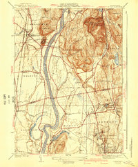
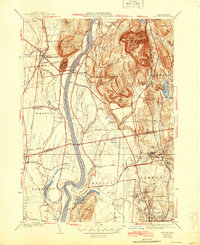
Editions of this 1941 Mt Toby Map
3 editions found
Other maps of this area

1885 · Northampton
USGS Topo · 1:62,500

1886 · Northampton
USGS Topo · 1:62,500

1887 · Warwick
USGS Topo · 1:62,500

1887 · Belchertown
USGS Topo · 1:62,500

1889 · Warwick
USGS Topo · 1:62,500

1890 · Belchertown
USGS Topo · 1:62,500

1890 · Greenfield
USGS Topo · 1:62,500

1891 · Northampton
USGS Topo · 1:62,500

1893 · Northampton
USGS Topo · 1:62,500

1893 · Belchertown
USGS Topo · 1:62,500