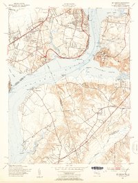
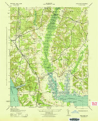
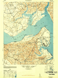
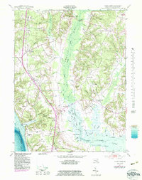
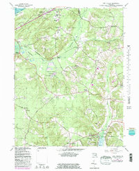
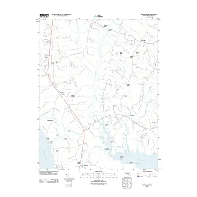
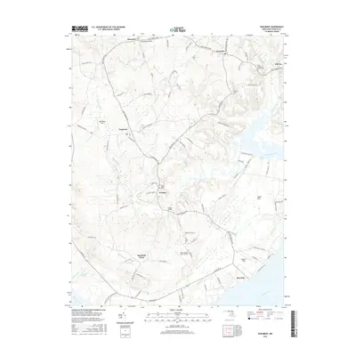
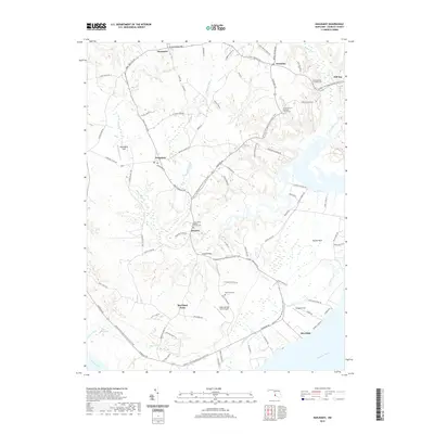
1951 Map of Mt. Vernon
USGS Topo · Published 1953About this map
Mount Vernon and the historic Fort Washington guard the opposite banks of the Potomac River in this early 1950s survey of the Maryland and Virginia borderlands. The landscape transitions from the suburban development of Hybla Valley and Gum Springs in Fairfax County to the more rural, wooded expanses of Prince Georges and Charles Counties. Key infrastructure of the era is visible, including the Mt Vernon Memorial Highway and Hybla Valley Airport, alongside local landmarks like Marshall Hall Park and the South Hampton Raceway.
Find a feature on this map
64 named features on this map. Tap any name to fly to it.
Don’t see what you’re looking for? This feature index may not catch every label — zoom into the map to look around manually.
Map Details
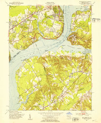
Editions of this 1951 Mt. Vernon Map
2 editions found
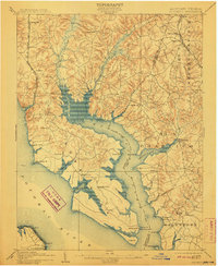
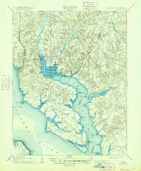
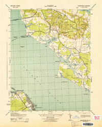
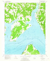
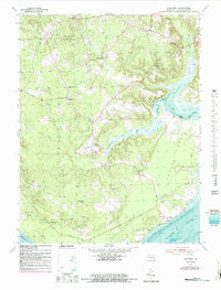
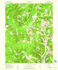
Historical Maps of Woodlawn Through Time
37 maps found

1894 Wicomico
Charles County, MD

1895 Wicomico
Charles County, MD
1902 Wicomico
Charles County, MD

1911 Wicomico
Charles County, MD
1914 Wicomico
Charles County, MD

1920 Wicomico
Charles County, MD
1943 Morgantown
Charles County, MD
1943 Popes Creek
Charles County, MD
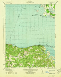
1943 Stratford
Charles County, MD
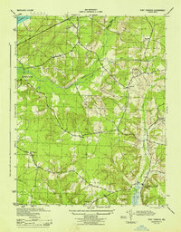
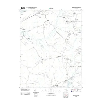
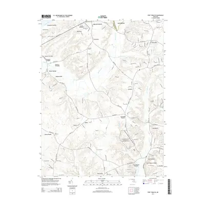
1944 Port Tobacco
Charles County, MD
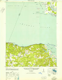
1946 Stratford
Charles County, MD
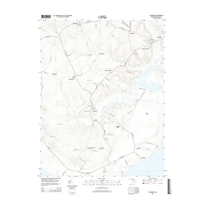
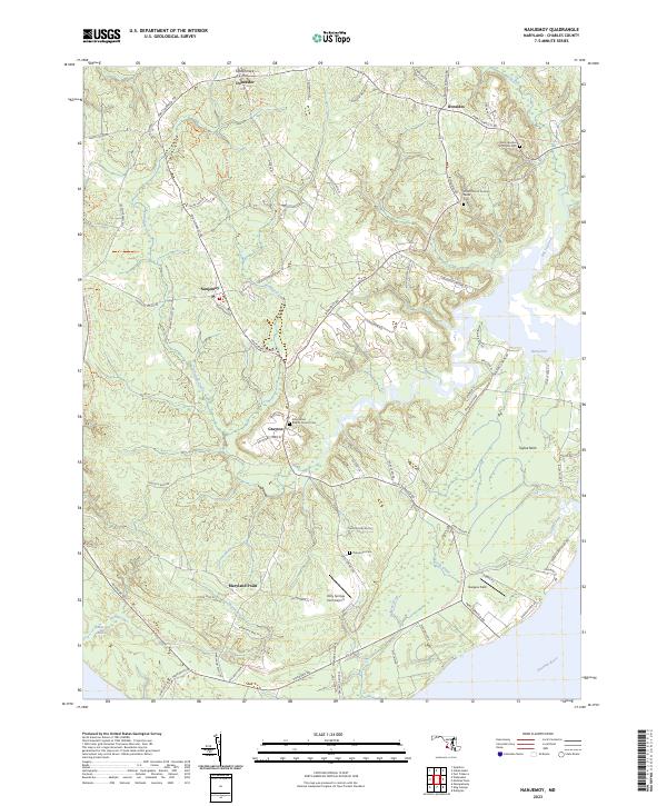
1948 Nanjemoy
Charles County, MD
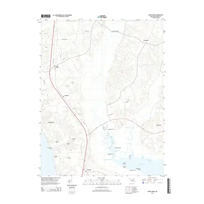
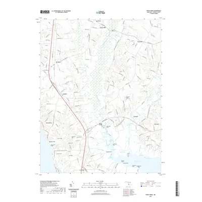
1951 Mt Vernon
Charles County, MD
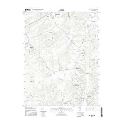
1951 Port Tobacco
Charles County, MD
1953 Morgantown
Charles County, MD
1953 Popes Creek
Charles County, MD
1954 Mathias Point
Charles County, MD
1954 Nanjemoy
Charles County, MD
1956 Port Tobacco
Charles County, MD
1966 Port Tobacco
Charles County, MD
1968 Mathias Point
Charles County, MD
1982 Mathias Point
Charles County, MD
2011 Nanjemoy
Charles County, MD
2011 Popes Creek
Charles County, MD
2011 Port Tobacco
Charles County, MD
2014 Nanjemoy
Charles County, MD
2014 Popes Creek
Charles County, MD
2014 Port Tobacco
Charles County, MD
2016 Nanjemoy
Charles County, MD
2016 Popes Creek
Charles County, MD
2016 Port Tobacco
Charles County, MD
2019 Nanjemoy
Charles County, MD
2019 Popes Creek
Charles County, MD
2019 Port Tobacco
Charles County, MD
2023 Nanjemoy
Charles County, MD
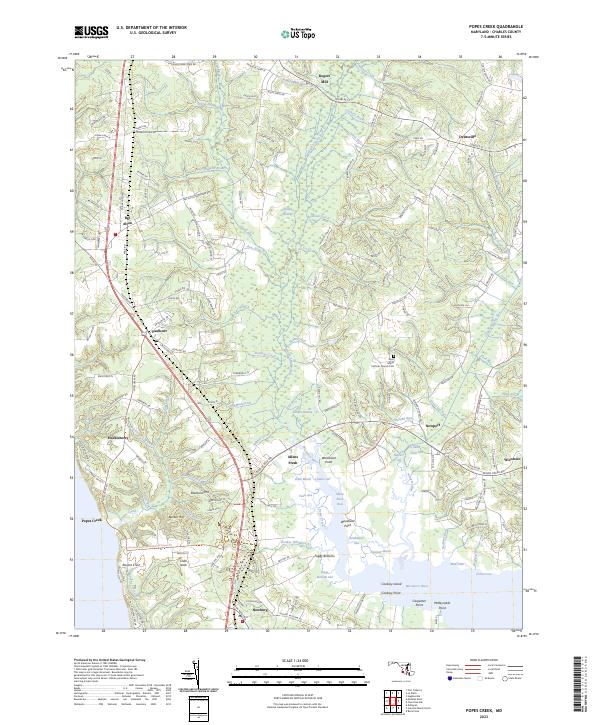
2023 Popes Creek
Charles County, MD
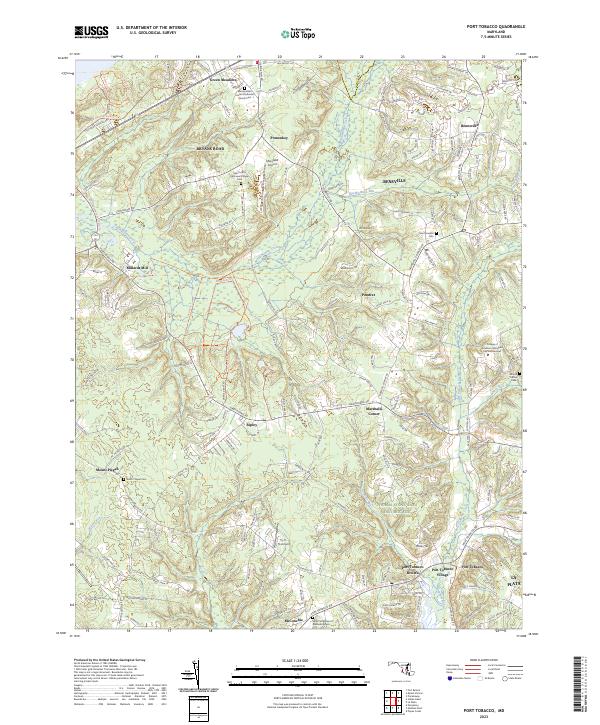
2023 Port Tobacco
Charles County, MD