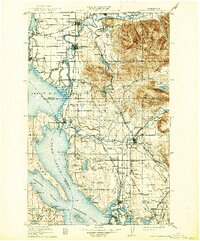
1911 Map of Mt Vernon
USGS Topo · Published 1937About this map
The Stilaguamish River and Skagit River dominate this early 20th-century landscape, carving complex deltas into Skagit Bay and Port Susan. This era shows the region's heavy reliance on rail and water transport, with the Great Northern and Northern Pacific railroads connecting timber and agricultural hubs. In the north, Mount Vernon and Sedro-Woolley serve as primary inland settlements, while coastal towns like La Conner and Stanwood manage the tidewaters. The southern portion of the map is defined by the Tulalip Indian Reservation, including the coastal settlements of Mission and Spee-bi-dah. High elevations like Cultus Mountain and Frailey Mountain rise sharply from the river valleys, marking the transition from the fertile lowlands to the foothills. Notable infrastructure of the day includes the Anderson Ferry crossing the Skagit, a critical link before modern bridging was complete.
Find a feature on this map
135 named features on this map. Tap any name to fly to it.
Don’t see what you’re looking for? This feature index may not catch every label — zoom into the map to look around manually.
Map Details
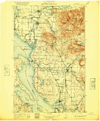
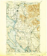
Editions of this 1911 Mt Vernon Map
4 editions found
Other maps of this area

1895 · Snohomish
USGS Topo · 1:125,000

1897 · Seattle
USGS Topo · 1:125,000

1899 · Stillaguamish
USGS Topo · 1:125,000

1901 · Stilaguamish
USGS Topo · 1:125,000

1909 · Mt Baker
USGS Topo · 1:192,000

1911 · Mount Vernon
USGS Topo · 1:125,000

1915 · Mt. Baker
USGS Topo · 1:250,000

1918 · Samish Lake
USGS Topo · 1:62,500

1921 · Wickersham
USGS Topo · 1:62,500

1921 · Sultan
USGS Topo · 1:125,000