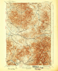
1938 Map of Mt. Washington
USGS Topo · Published 1938About this map
Mt Washington towers over a complex network of high-altitude trails and early 20th-century infrastructure, defined by its iconic Mount Washington Cog Railroad climbing from the Base Station. This mid-1930s survey captures the presidential range during a peak era of wilderness recreation and mountain forestry, evidenced by the numerous shelters and cabins such as the AMC Hut and Ravine House. The landscape is carved into massive political tracts like Thompson and Meserves Purchase and Low and Burbanks Grant, where industry and tourism intersected. Along the northern base, the Boston and Maine Railroad and Maine Central Railroad connect small settlements like Jefferson Highlands and Appalachia, while fire prevention is marked by the Lonesome Ridge Fire Tower and Pine Mtn Lookout. This record preserves the precise location of vanished logging camps such as Camp 18 and Camp 19 before the full reforestation of the region.
Find a feature on this map
199 named features on this map. Tap any name to fly to it.
Don’t see what you’re looking for? This feature index may not catch every label — zoom into the map to look around manually.
Map Details
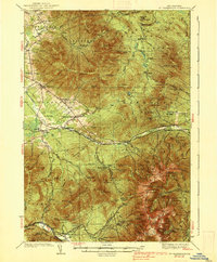
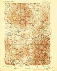
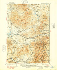
Editions of this 1938 Mt. Washington Map
4 editions found
Other maps of this area

1893 · Mt. Washington
USGS Topo · 1:62,500

1893 · Gorham
USGS Topo · 1:62,500

1894 · North Conway
USGS Topo · 1:62,500

1895 · Crawford Notch
USGS Topo · 1:62,500

1896 · Mt. Washington
USGS Topo · 1:62,500

1896 · Crawford Notch
USGS Topo · 1:62,500

1896 · North Conway
USGS Topo · 1:62,500

1896 · Gorham
USGS Topo · 1:62,500

1900 · Whitefield
USGS Topo · 1:62,500

1920 · Guildhall
USGS Topo · 1:62,500