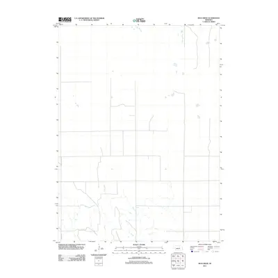
2011 Map of Mud Creek
USGS Topo · Published 2011About this map
Mud Creek defines the drainage and topography of this Boone County landscape, meandering through a rural area characterized by a vast network of section-line roads. This 2011 survey illustrates the modern agricultural footprint of the region, where the terrain is punctuated by small ponds and seasonal watercourses. Transportation is anchored by legacy routes like Old State Hwy 101 and Road 2315, which facilitate the movement of goods and people across the plains. The map reflects a stable, low-density settlement pattern typical of Nebraska's farming heartland, providing a clear record of the local hydrography and infrastructure as it existed at the start of the decade.
Find a feature on this map
3 named features on this map. Tap any name to fly to it.
Don’t see what you’re looking for? This feature index may not catch every label — zoom into the map to look around manually.
Map Details
Editions of this 2011 Mud Creek Map
This is the sole edition of this map. No revisions or reprints were ever made.
Other maps of this area

1954 · Spalding
USGS Topo · 1:24,000

1954 · Akron
USGS Topo · 1:24,000

1954 · Spalding NW
USGS Topo · 1:24,000

1955 · Broken Bow
USGS Topo · 1:250,000

1956 · Broken Bow
USGS Topo · 1:250,000

1960 · Spalding 2 SW
USGS Topo · 1:24,000

1960 · Spalding 2 NW
USGS Topo · 1:24,000

1960 · Spalding 2 NE
USGS Topo · 1:24,000

1960 · Spalding 2 SE
USGS Topo · 1:24,000

1963 · Elgin NW
USGS Topo · 1:24,000