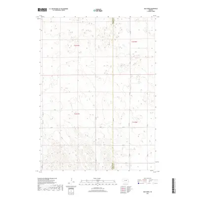
2017 Map of Mud Creek
USGS Topo · Published 2017About this map
Mud Cr winds through the southwestern corner of this landscape on the border of Boone and Wheeler counties. The terrain is defined by a sparse but precise network of rural roads that follows the Public Land Survey System grid, including Old Hwy 101 and 100th Ave. This section of Nebraska is characterized by rolling hills and small depressions, with many unnamed water bodies scattered across the northern half of the quadrangle. The map details the transition from Township 21 North into Township 22 North, illustrating the agricultural and pastoral partition of the land near the turn of the 21st century. Section lines and secondary routes like 825 Rd provide exact reference points for land ownership and historical property research in this rural corridor.
Find a feature on this map
18 named features on this map. Tap any name to fly to it.
Don’t see what you’re looking for? This feature index may not catch every label — zoom into the map to look around manually.
Map Details
Editions of this 2017 Mud Creek Map
This is the sole edition of this map. No revisions or reprints were ever made.
Other maps of this area

1954 · Spalding
USGS Topo · 1:24,000

1954 · Akron
USGS Topo · 1:24,000

1954 · Spalding NW
USGS Topo · 1:24,000

1955 · Broken Bow
USGS Topo · 1:250,000

1956 · Broken Bow
USGS Topo · 1:250,000

1960 · Spalding 2 SW
USGS Topo · 1:24,000

1960 · Spalding 2 NW
USGS Topo · 1:24,000

1960 · Spalding 2 NE
USGS Topo · 1:24,000

1960 · Spalding 2 SE
USGS Topo · 1:24,000

1963 · Elgin NW
USGS Topo · 1:24,000