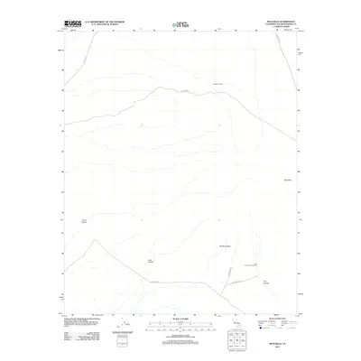
2012 Map of Mud Hills
USGS Topo · Published 2012About this map
Rainbow Basin forms a geological focal point within the Mud Hills of San Bernardino County, where the desert landscape is defined by its dramatic erosion patterns and dry washes. This 2012 survey by the U.S. Geological Survey captures the specialized infrastructure of this arid region, from the remote Coolgardie Camp to the Owl Canyon Campground near the southeastern margin. The map follows a network of primitive and unpaved routes like Coolgardie Rd and Fossil Bed Rd, which connect the various natural features such as Fossil Canyon and Coon Canyon. The presence of these named basins and canyons suggests a landscape shaped by intermittent water flow and significant paleontological interest, characteristic of the Mojave's interior drainage basins.
Find a feature on this map
13 named features on this map. Tap any name to fly to it.
Don’t see what you’re looking for? This feature index may not catch every label — zoom into the map to look around manually.
Map Details
Editions of this 2012 Mud Hills Map
This is the sole edition of this map. No revisions or reprints were ever made.
Other maps of this area

1915 · Searles Lake
USGS Topo · 1:250,000

1932 · Barstow
USGS Topo · 1:125,000

1933 · Avawatz Mountains
USGS Topo · 1:250,000

1934 · Barstow
USGS Topo · 1:125,000

1947 · Trona
USGS Topo · 1:250,000

1948 · Trona
USGS Topo · 1:250,000

1948 · Lane Mountain
USGS Topo · 1:62,500

1951 · Lane Mountain
USGS Topo · 1:62,500

1953 · San Bernardino
USGS Topo · 1:250,000

1953 · Trona
USGS Topo · 1:250,000