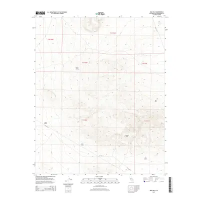
2015 Map of Mud Hills
USGS Topo · Published 2015About this map
Rainbow Basin serves as a geological centerpiece in this high-desert landscape north of Barstow, where complex drainage patterns have carved deeply through the Mud Hills. The terrain is characterized by a series of dramatic erosional features, including the winding corridors of Fossil Canyon and Coon Canyon. These canyons provide a look at the arid topography of the Mojave Desert as it was mapped in 2015. Human activity in this desolate region is primarily marked by a sparse network of access routes, most notably Fossil Bed Rd and Copper City Rd, which navigate the varying elevations between Owl Canyon and the surrounding peaks. The map detail reflects the region's importance for geological study and recreational exploration, clearly delineating the public land survey system grids that organize this expansive reach of San Bernardino County.
Find a feature on this map
14 named features on this map. Tap any name to fly to it.
Don’t see what you’re looking for? This feature index may not catch every label — zoom into the map to look around manually.
Map Details
Editions of this 2015 Mud Hills Map
This is the sole edition of this map. No revisions or reprints were ever made.
Other maps of this area

1915 · Searles Lake
USGS Topo · 1:250,000

1932 · Barstow
USGS Topo · 1:125,000

1933 · Avawatz Mountains
USGS Topo · 1:250,000

1934 · Barstow
USGS Topo · 1:125,000

1947 · Trona
USGS Topo · 1:250,000

1948 · Trona
USGS Topo · 1:250,000

1948 · Lane Mountain
USGS Topo · 1:62,500

1951 · Lane Mountain
USGS Topo · 1:62,500

1953 · San Bernardino
USGS Topo · 1:250,000

1953 · Trona
USGS Topo · 1:250,000