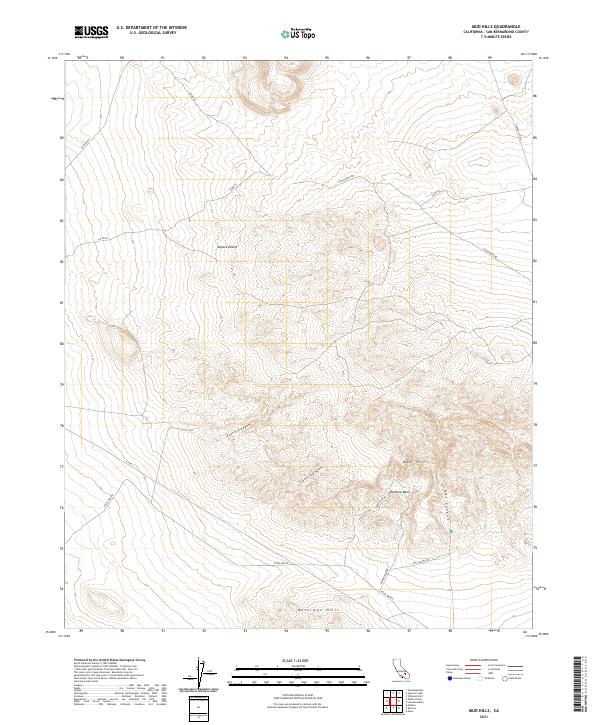
2021 Map of Mud Hills
USGS Topo · Published 2021About this map
The Mojave Desert terrain dominates this 2021 survey of the Mud Hills, where complex geologic formations and deep washes create a labyrinthine landscape. Central to this map is Rainbow Basin, a geological landmark characterized by its colorful, folded rock layers and paleontological significance. The area is defined by a network of dry drainages such as Owl Canyon and Coon Canyon, which cut through the uplifted terrain of the Waterman Hills in the southern portion of the sheet.
Find a feature on this map
22 named features on this map. Tap any name to fly to it.
Don’t see what you’re looking for? This feature index may not catch every label — zoom into the map to look around manually.
Map Details
Editions of this 2021 Mud Hills Map
This is the sole edition of this map. No revisions or reprints were ever made.
Other maps of this area

1915 · Searles Lake
USGS Topo · 1:250,000

1932 · Barstow
USGS Topo · 1:125,000

1933 · Avawatz Mountains
USGS Topo · 1:250,000

1934 · Barstow
USGS Topo · 1:125,000

1947 · Trona
USGS Topo · 1:250,000

1948 · Trona
USGS Topo · 1:250,000

1948 · Lane Mountain
USGS Topo · 1:62,500

1951 · Lane Mountain
USGS Topo · 1:62,500

1953 · San Bernardino
USGS Topo · 1:250,000

1953 · Trona
USGS Topo · 1:250,000