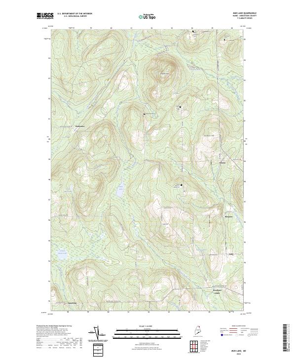
2024 Map of Mud Lake
USGS Topo · Published 2024About this map
Woodland Center and the surrounding agricultural landscapes of Aroostook County are defined by a network of family-named roads and scattered burial grounds. The terrain transitions from the low-lying wetlands of Salmon Brook Lake and Mud Lake to the prominent heights of Fogelin Hill and Jacobson Hill. Small settlements like Blackstone and Sweden are connected by a grid of rural thoroughfares such as Westmanland Rd and New Sweden Rd, reflecting the region's Scandinavian heritage. For genealogists, the map is particularly valuable for its documentation of small, often isolated cemeteries, including the West Jemtland Cem and the Nilsen Ackerson Family Cem. The Little Madawaska River and Mud Brook carve through the north, while the southern reaches are dominated by the headwaters of Salmon Brook, illustrating the drainage patterns that shaped the early farmsteads and timber roads of this northern Maine interior.
Find a feature on this map
52 named features on this map. Tap any name to fly to it.
Don’t see what you’re looking for? This feature index may not catch every label — zoom into the map to look around manually.
Map Details
Editions of this 2024 Mud Lake Map
This is the sole edition of this map. No revisions or reprints were ever made.
Other maps of this area

1927 · Stockholm
USGS Topo · 1:48,000

1927 · Square Lake
USGS Topo · 1:48,000

1929 · Portage
USGS Topo · 1:62,500

1929 · Caribou
USGS Topo · 1:48,000

1931 · Square Lake
USGS Topo · 1:62,500

1931 · Portage
USGS Topo · 1:62,500

1931 · Stockholm
USGS Topo · 1:62,500

1932 · Caribou
USGS Topo · 1:62,500

1953 · Stockholm
USGS Topo · 1:62,500

1953 · Square Lake
USGS Topo · 1:62,500