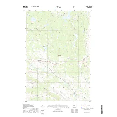
2017 Map of Muddy Creek
USGS Topo · Published 2017About this map
The Beartooth Mountains dominate this high-altitude landscape in the Shoshone National Forest, where a complex network of trails and drainage systems defines the terrain. The Clarks Fork Yellowstone River carves through the southern half of the quadrangle, joined by tributaries such as Ghost Cr and Beartooth Cr. High-country water bodies like Lake Reno, Lost Lake, and Granite Lake are connected by a historical web of footpaths, including the Lake Reno Trail and Granite Lake Trail. The presence of L Bar T Ranch Rd and the Beartooth National Scenic Byway indicate the integration of ranching access and modern tourism into this protected wilderness. At the eastern edge, Clay Butte stands as a prominent landmark overlooking the deep canyons and alpine meadows that characterize this portion of Park County.
Find a feature on this map
32 named features on this map. Tap any name to fly to it.
Don’t see what you’re looking for? This feature index may not catch every label — zoom into the map to look around manually.
Map Details
Editions of this 2017 Muddy Creek Map
This is the sole edition of this map. No revisions or reprints were ever made.
Other maps of this area

1896 · Crandall Creek
USGS Topo · 1:125,000

1898 · Granite Mountain District
USGS Topo · 1:125,000

1899 · Crandall
USGS Topo · 1:125,000

1954 · Billings
USGS Topo · 1:250,000

1955 · Cody
USGS Topo · 1:250,000

1956 · Alpine
USGS Topo · 1:62,500

1956 · Beartooth Butte
USGS Topo · 1:62,500

1956 · Cooke City
USGS Topo · 1:62,500

1956 · Pilot Peak
USGS Topo · 1:62,500

1957 · Billings
USGS Topo · 1:250,000