
1956 Map of Cooke City
USGS Topo · Published 1958About this map
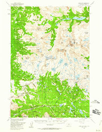
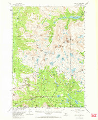
Cooke City and Silver Gate serve as the primary human outposts in this high-altitude landscape where the Shoshone National Forest, Custer National Forest, and Gallatin National Forest converge. The 1956 field checks record an active mining legacy south of Daisy Pass, noting the Irma Mines, Mohawk Mine, and Copper King Mine tucked into the steep drainages. This period captures the region before the modern era of wilderness management, evidenced by the Cooke Ranger Sta and the Big Park Guard Station. High-elevation landmarks such as Granite Peak and Grasshopper Glacier anchor a terrain defined by complex water systems, including the Stillwater River and Clarks Fork Yellowstone River. Large alpine lakes like Upper Aero Lake and Mystic Lake are documented alongside specialized features like Chimney Rock and Fossil Lake, providing a precise look at the mid-century geography of the Montana-Wyoming border.
Find a feature on this map
119 named features on this map. Tap any name to fly to it.
Don’t see what you’re looking for? This feature index may not catch every label — zoom into the map to look around manually.
Map Details
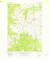
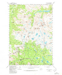
Editions of this 1956 Cooke City Map
5 editions found
Other maps of this area

1886 · Canyon
USGS Topo · 1:125,000

1891 · Livingston
USGS Topo · 1:250,000

1893 · Livingston
USGS Topo · 1:250,000

1895 · Canyon
USGS Topo · 1:125,000

1896 · Canyon
USGS Topo · 1:125,000

1896 · Crandall Creek
USGS Topo · 1:125,000

1898 · Granite Mountain District
USGS Topo · 1:125,000

1899 · Crandall
USGS Topo · 1:125,000

1901 · Canyon
USGS Topo · 1:125,000

1907 · Canyon
USGS Topo · 1:125,000