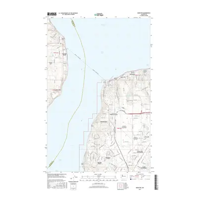
2017 Map of Mukilteo
USGS Topo · Published 2017About this map
Snohomish County Airport (Paine Field) dominates the eastern landscape, serving as a primary aviation hub for the region near the shores of Puget Sound. The city of Mukilteo acts as a vital transportation node, where the Mukilteo - Clinton Ferry connects the mainland to Whidbey Island settlements like Columbia Beach and Glendale. The coastal topography is defined by deep ravines such as Japanese Gulch and Big Gulch, which punctuate the residential expansion of Harbour Pointe and Picnic Point. This modern survey illustrates the complex intersection of heavy infrastructure and residential growth, with the BNSF Railway skirting the coastline below the bluffs. To the south, the suburban transition is marked by Paine Field-Lake Stickney and the recreational waters of Stickney Lake, reflecting the continued development of the corridor between Everett and the sound.
Find a feature on this map
122 named features on this map. Tap any name to fly to it.
Don’t see what you’re looking for? This feature index may not catch every label — zoom into the map to look around manually.
Map Details
Editions of this 2017 Mukilteo Map
This is the sole edition of this map. No revisions or reprints were ever made.
Other maps of this area

1895 · Snohomish
USGS Topo · 1:125,000

1897 · Seattle
USGS Topo · 1:125,000

1911 · Mount Vernon
USGS Topo · 1:125,000

1941 · Marysville
USGS Topo · 1:62,500

1942 · Edmonds
USGS Topo · 1:62,500

1943 · Marysville
USGS Topo · 1:62,500

1943 · Stanwood
USGS Topo · 1:62,500

1944 · Everett
USGS Topo · 1:62,500
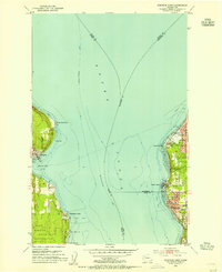
1953 · Edmonds West
USGS Topo · 1:24,000
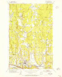
1953 · Bothell
USGS Topo · 1:24,000