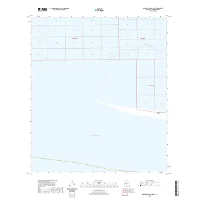
2020 Map of Mulberry Island West
USGS Topo · Published 2020About this map
Mulberry Island sits at the edge of the Louisiana coastline in Vermilion Parish, where the marshy southern landscape meets the open waters of the Gulf of Mexico. This low-lying coastal environment is defined by its remote aquatic geography, characterized by the narrow Dewitt Canal cutting through the northern portion of the quadrangle. The map illustrates the fragile transition between land and sea, revealing the section lines of the Public Land Survey System that extend into the coastal marsh within t16s r1w, t16s r1e, and t17s r1e. This 2020 record captures a specific moment in the shifting coastal topography of southern Louisiana, essential for understanding the contemporary shoreline and the waterway network used for local navigation and drainage.
Find a feature on this map
6 named features on this map. Tap any name to fly to it.
Don’t see what you’re looking for? This feature index may not catch every label — zoom into the map to look around manually.
Map Details
Editions of this 2020 Mulberry Island West Map
This is the sole edition of this map. No revisions or reprints were ever made.
Other maps of this area

1932 · Constance Bayou NE
USGS Topo · 1:31,680

1932 · Pecan Island SE
USGS Topo · 1:31,680

1932 · Pecan Island SW
USGS Topo · 1:31,680

1932 · Constance Bayou SE
USGS Topo · 1:31,680

1945 · Pecan Island NW
USGS Topo · 1:31,680

1945 · Pecan Island NE
USGS Topo · 1:31,680

1951 · Pecan Island
USGS Topo · 1:62,500
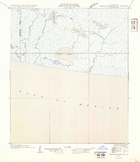
1954 · Constance Bayou SE
USGS Topo · 1:31,680
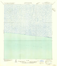
1954 · Pecan Island SW
USGS Topo · 1:31,680
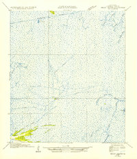
1954 · Pecan Island NE
USGS Topo · 1:31,680