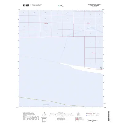
2024 Map of Mulberry Island West
USGS Topo · Published 2024About this map
Mulberry Island and its surrounding marshlands characterize this coastal stretch of Vermilion Parish, where the land fragmentizes into the Gulf of Mexico. The landscape is defined by extensive hydrographic engineering, most notably the Dewitt Canal, which cuts through the wetland sections to provide navigation and drainage across the coastal prairie. The survey details the Public Land Survey System grid, including boundaries for t16s r1w, t16s r1e, and t17s r1e, illustrating how traditional land divisions overlay this fluid environment. This 2024 data reflects the contemporary state of Louisiana's receding coastline and the man-made waterways essential to the region's industrial and environmental management.
Find a feature on this map
6 named features on this map. Tap any name to fly to it.
Don’t see what you’re looking for? This feature index may not catch every label — zoom into the map to look around manually.
Map Details
Editions of this 2024 Mulberry Island West Map
This is the sole edition of this map. No revisions or reprints were ever made.
Other maps of this area

1932 · Constance Bayou NE
USGS Topo · 1:31,680

1932 · Pecan Island SE
USGS Topo · 1:31,680

1932 · Pecan Island SW
USGS Topo · 1:31,680

1932 · Constance Bayou SE
USGS Topo · 1:31,680

1945 · Pecan Island NW
USGS Topo · 1:31,680

1945 · Pecan Island NE
USGS Topo · 1:31,680

1951 · Pecan Island
USGS Topo · 1:62,500
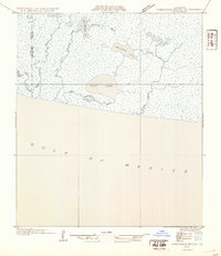
1954 · Constance Bayou SE
USGS Topo · 1:31,680
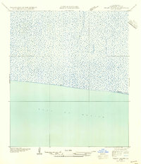
1954 · Pecan Island SW
USGS Topo · 1:31,680
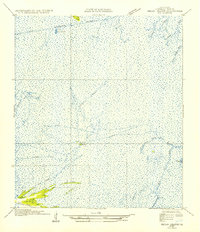
1954 · Pecan Island NE
USGS Topo · 1:31,680