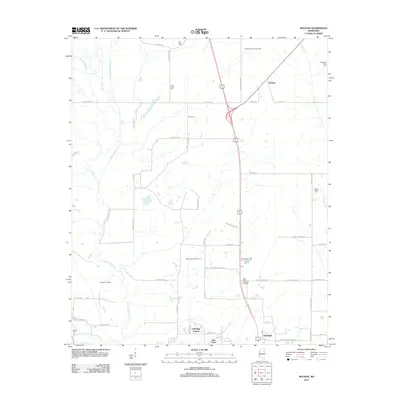
2012 Map of Muldon
USGS Topo · Published 2012About this map
The community of Muldon serves as a central point in this part of Clay County, situated at the intersection of local routes like Miller Dr and Sykes Rd. The landscape is defined by its extensive drainage network, primarily the winding path of Chuquatonchee Cr, which is joined by tributaries such as Death Cr and Houlka Cr. This 2012 survey illustrates a region where rural land use is heavily integrated with the energy industry, evidenced by the large-scale Muldon Gas Storage Field and the West Point Gas Field.
Find a feature on this map
59 named features on this map. Tap any name to fly to it.
Don’t see what you’re looking for? This feature index may not catch every label — zoom into the map to look around manually.
Map Details
Editions of this 2012 Muldon Map
This is the sole edition of this map. No revisions or reprints were ever made.
Other maps of this area

1953 · West Point
USGS Topo · 1:250,000

1958 · West Point
USGS Topo · 1:250,000

1959 · West Point
USGS Topo · 1:62,500

1959 · Van Vleet
USGS Topo · 1:62,500

1959 · Pheba
USGS Topo · 1:62,500

1963 · West Point
USGS Topo · 1:250,000

1966 · Aberdeen
USGS Topo · 1:24,000

1966 · Prairie
USGS Topo · 1:24,000

1982 · West Point
USGS Topo · 1:100,000

1984 · West Point
USGS Topo · 1:250,000