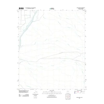
2011 Map of Mule Wash
USGS Topo · Published 2011About this map
The Colorado River carves through the northwestern corner of this landscape, its path defined by the shifting sediment of the desert floor. This 2011 survey illustrates a region dominated by drainage patterns, where large ephemeral watercourses like Mohave Wash and Petes Wash flow toward the river valley. To the south, a significant portion of the territory is occupied by the Yuma Proving Ground, a military installation that restricts development and preserves the natural state of the terrain. Connectivity is limited to isolated thoroughfares such as Cibola Rd and Baseline Rd, which navigate the wide basins between Mule Wash and Gould Wash. The map documents a sparsely settled borderland where the industrial scale of the military reserve meets the wild, braided channels of the desert's seasonal washes.
Find a feature on this map
10 named features on this map. Tap any name to fly to it.
Don’t see what you’re looking for? This feature index may not catch every label — zoom into the map to look around manually.
Map Details
Editions of this 2011 Mule Wash Map
This is the sole edition of this map. No revisions or reprints were ever made.
Other maps of this area

1933 · Cunningham Mtn
USGS Topo · 1:48,000

1934 · Trigo Peaks
USGS Topo · 1:48,000

1939 · Trigo Peaks
USGS Topo · 1:62,500

1940 · Dome Rock Mts
USGS Topo · 1:62,500

1942 · Blythe
USGS Topo · 1:250,000

1945 · Cibola
USGS Topo · 1:62,500

1951 · Blythe
USGS Topo · 1:24,000

1951 · Cibola
USGS Topo · 1:62,500

1952 · Mule Wash
USGS Topo · 1:24,000

1952 · Palo Verde
USGS Topo · 1:24,000