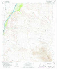
1964 Map of Mule Wash
USGS Topo · Published 1977About this map
The Colorado River serves as the primary artery through this desert landscape, delineating the border between Riverside County, California, and Yuma County, Arizona. On the California side, the Palo Verde Canal and various irrigation channels like the D 23 Canal reflect the agricultural development of the Palo Verde Valley. Across the water in Arizona, the terrain shifts abruptly into the arid reaches of the Yuma Proving Ground, where a network of dry drainages such as Mule Wash and Mohave Wash carve through the foothills of the Trigo Mountains. This 1964 survey, later photorevised to show 1975 changes, documents a region defined by contrast: the engineered waters of the valley floor meeting the vast military reservation. Notable land features include the rugged Cibola Gould Wash and the winding Cibola Road, which provides the only major terrestrial passage through this portion of the proving grounds.
Find a feature on this map
18 named features on this map. Tap any name to fly to it.
Don’t see what you’re looking for? This feature index may not catch every label — zoom into the map to look around manually.
Map Details
Editions of this 1964 Mule Wash Map
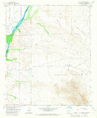
2 editions found
Other maps of this area

1933 · Cunningham Mtn
USGS Topo · 1:48,000

1934 · Trigo Peaks
USGS Topo · 1:48,000

1939 · Trigo Peaks
USGS Topo · 1:62,500

1940 · Dome Rock Mts
USGS Topo · 1:62,500

1942 · Blythe
USGS Topo · 1:250,000

1945 · Cibola
USGS Topo · 1:62,500

1951 · Blythe
USGS Topo · 1:24,000

1951 · Cibola
USGS Topo · 1:62,500

1952 · Mule Wash
USGS Topo · 1:24,000

1952 · Palo Verde
USGS Topo · 1:24,000