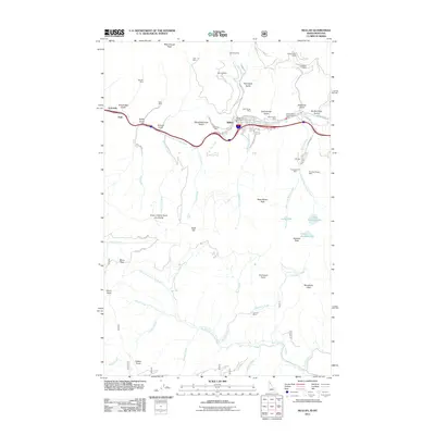
2011 Map of Mullan
USGS Topo · Published 2011About this map
Mullan serves as the hub for this high-elevation district along the South Fork Coeur d'Alene River, where the landscape is defined by its deep mining heritage. The map documents an extensive network of mineral extraction sites, including the prominent Lucky Friday Mine and the Morning Mine, which sit amidst a series of steep drainages like Paymaster Gulch and Deadman Gulch. This 2011 survey captures the town's street grid, including Miner St and Pine Ave, alongside the essential infrastructure of the Mullan Vol Fire Dept.
Find a feature on this map
72 named features on this map. Tap any name to fly to it.
Don’t see what you’re looking for? This feature index may not catch every label — zoom into the map to look around manually.
Map Details
Editions of this 2011 Mullan Map
This is the sole edition of this map. No revisions or reprints were ever made.
Other maps of this area

1901 · Coeur D'Alene District
USGS Topo · 1:62,500

1903 · Coeur D'Alene District
USGS Topo · 1:62,500

1906 · Coeur D'Alene District
USGS Topo · 1:62,500

1914 · Avery
USGS Topo · 1:125,000

1917 · Avery
USGS Topo · 1:125,000

1932 · Trout Creek
USGS Topo · 1:125,000

1935 · Trout Creek
USGS Topo · 1:125,000

1936 · Trout Creek
USGS Topo · 1:125,000

1956 · Cooper Gulch
USGS Topo · 1:62,500

1956 · Saltese
USGS Topo · 1:62,500