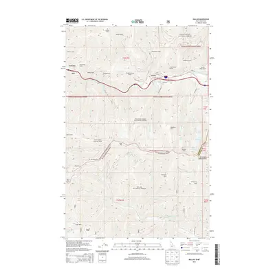
2013 Map of Mullan
USGS Topo · Published 2013About this map
Mullan occupies a narrow canyon floor along the S Fork Coeur d'Alene River, a landscape defined by the mining legacy of Shoshone County. The terrain is marked by a series of steep drainages with evocative names such as Gold Hunter Gulch, Paymaster Gulch, and Slaughterhouse Gulch, reflecting the industrial prospecting history of the Bitterroot Range. To the south, the Coeur d'Alene Saint Joe Divide creates a high-altitude boundary between the Coeur d'Alene National Forest and the St. Joe National Forest. High peaks such as Stevens Peak and W Willow Peak tower over glacial tarns including Lower Stevens Lake and Upper Stevens Lake. The map also captures the critical crossing at Moon Pass and the small settlements of Stull and Golconda, which sit along the river corridor near the historic mining gulches.
Find a feature on this map
67 named features on this map. Tap any name to fly to it.
Don’t see what you’re looking for? This feature index may not catch every label — zoom into the map to look around manually.
Map Details
Editions of this 2013 Mullan Map
This is the sole edition of this map. No revisions or reprints were ever made.
Other maps of this area

1901 · Coeur D'Alene District
USGS Topo · 1:62,500

1903 · Coeur D'Alene District
USGS Topo · 1:62,500

1906 · Coeur D'Alene District
USGS Topo · 1:62,500

1914 · Avery
USGS Topo · 1:125,000

1917 · Avery
USGS Topo · 1:125,000

1932 · Trout Creek
USGS Topo · 1:125,000

1935 · Trout Creek
USGS Topo · 1:125,000

1936 · Trout Creek
USGS Topo · 1:125,000

1956 · Cooper Gulch
USGS Topo · 1:62,500

1956 · Saltese
USGS Topo · 1:62,500