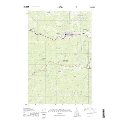
2020 Map of Mullan
USGS Topo · Published 2020About this map
The town of Mullan sits as the central hub of this Shoshone County survey, situated along the S Fork Coeur d'Alene River where industrial history and mountain terrain intersect. This mining-district landscape is marked by the presence of three distinct burial grounds including Miners Union Cem and the IOOF Cem, reflecting the civic and labor organizations that defined early 20th-century life in the Silver Valley. The town’s layout is deeply influenced by the canyon floor, with neighborhood streets like Hunter St and Bingville Rd squeezed between steep gulches.
Find a feature on this map
86 named features on this map. Tap any name to fly to it.
Don’t see what you’re looking for? This feature index may not catch every label — zoom into the map to look around manually.
Map Details
Editions of this 2020 Mullan Map
This is the sole edition of this map. No revisions or reprints were ever made.
Other maps of this area

1901 · Coeur D'Alene District
USGS Topo · 1:62,500

1903 · Coeur D'Alene District
USGS Topo · 1:62,500

1906 · Coeur D'Alene District
USGS Topo · 1:62,500

1914 · Avery
USGS Topo · 1:125,000

1917 · Avery
USGS Topo · 1:125,000

1932 · Trout Creek
USGS Topo · 1:125,000

1935 · Trout Creek
USGS Topo · 1:125,000

1936 · Trout Creek
USGS Topo · 1:125,000

1956 · Cooper Gulch
USGS Topo · 1:62,500

1956 · Saltese
USGS Topo · 1:62,500