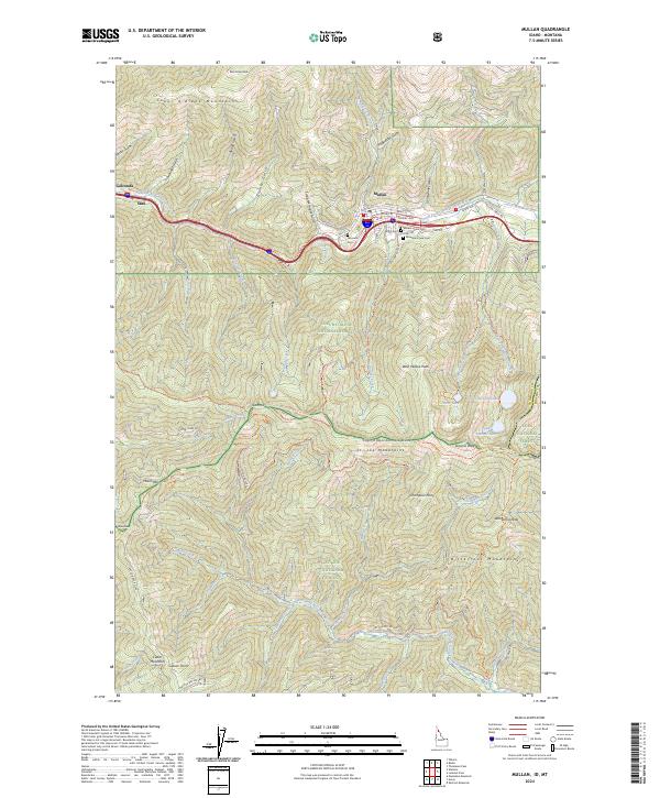
2024 Map of Mullan
USGS Topo · Published 2024About this map
Mullan occupies a narrow valley at the foot of the Coeur d'Alene Mountains, serving as a central hub for the region's long-standing mining and forest history. The concentration of burial sites, including the Miners Union Cem, Fairmont Cem, and Mountain View Cem, reflects the legacy of the local workforce. Transportation follows the natural corridor of the South Fork Coeur d'Alene River, where the Trail Of The Coeur d'Alene's Trl now traces the path of former rail commerce through Stull and Golconda.
Find a feature on this map
77 named features on this map. Tap any name to fly to it.
Don’t see what you’re looking for? This feature index may not catch every label — zoom into the map to look around manually.
Map Details
Editions of this 2024 Mullan Map
This is the sole edition of this map. No revisions or reprints were ever made.
Other maps of this area

1901 · Coeur D'Alene District
USGS Topo · 1:62,500

1903 · Coeur D'Alene District
USGS Topo · 1:62,500

1906 · Coeur D'Alene District
USGS Topo · 1:62,500

1914 · Avery
USGS Topo · 1:125,000

1917 · Avery
USGS Topo · 1:125,000

1932 · Trout Creek
USGS Topo · 1:125,000

1935 · Trout Creek
USGS Topo · 1:125,000

1936 · Trout Creek
USGS Topo · 1:125,000

1956 · Cooper Gulch
USGS Topo · 1:62,500

1956 · Saltese
USGS Topo · 1:62,500