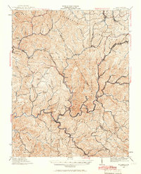
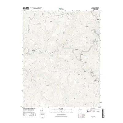
1925 Map of Mullens
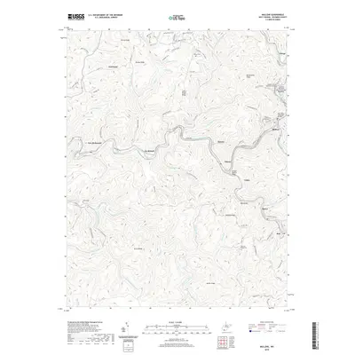
USGS Topo · Published 1966About this map
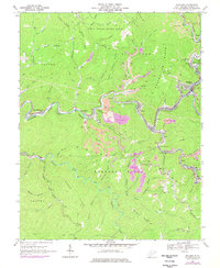
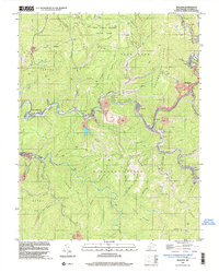
Mullens and the Guyandotte River valley define this 1920s landscape, illustrating the intense industrial and communal development of the West Virginia coalfields. The map traces the vital arteries of the Virginian Railway and the Chesapeake and Ohio Railway, which wind through steep terrain to serve dozens of mining settlements like Stotesbury, Helen, and Glen Rogers. These rail lines follow the natural drainages of Slab Fork, Soak Creek, and Winding Gulf, connecting narrow mountain hollows to the larger economy.
Find a feature on this map
109 named features on this map. Tap any name to fly to it.
Don’t see what you’re looking for? This feature index may not catch every label — zoom into the map to look around manually.
Map Details
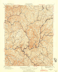
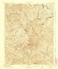
Editions of this 1925 Mullens Map
2 editions found
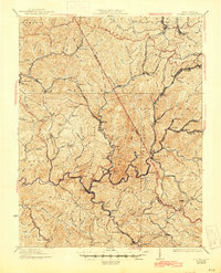
Historical Maps of Mullens Through Time
10 maps found
1912 Mullens
Wyoming County, WV
1925 Mullens
Wyoming County, WV
1927 Mullens
Wyoming County, WV
1967 Mullens
Wyoming County, WV
1996 Mullens
Wyoming County, WV
2011 Mullens
Wyoming County, WV
2014 Mullens
Wyoming County, WV
2016 Mullens
Wyoming County, WV
2019 Mullens
Wyoming County, WV
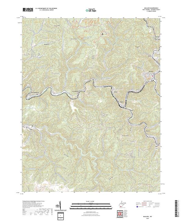
2023 Mullens
Wyoming County, WV