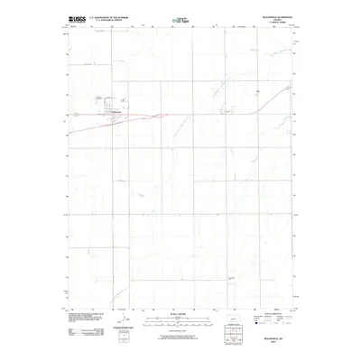
2009 Map of Mullinville
USGS Topo · Published 2009About this map
Mullinville serves as the central hub of this High Plains landscape, where a organized street grid including North St, Elm St, and Maple St defines the residential and commercial heart of the township. The community is anchored to the north by Hillcrest Cemetery, a site of significant interest for genealogists tracing local family history. To the east, the smaller settlement of Joy sits near the upper reaches of the drainage network.
Find a feature on this map
15 named features on this map. Tap any name to fly to it.
Don’t see what you’re looking for? This feature index may not catch every label — zoom into the map to look around manually.
Map Details
Editions of this 2009 Mullinville Map
This is the sole edition of this map. No revisions or reprints were ever made.
Other maps of this area

1889 · Kinsley
USGS Topo · 1:125,000

1892 · Kinsley
USGS Topo · 1:125,000

1892 · Spearville
USGS Topo · 1:125,000

1892 · Coldwater
USGS Topo · 1:125,000

1894 · Spearville
USGS Topo · 1:125,000

1894 · Kinsley
USGS Topo · 1:125,000

1896 · Ashland
USGS Topo · 1:125,000

1955 · Pratt
USGS Topo · 1:250,000

1959 · Pratt
USGS Topo · 1:250,000

1969 · Bucklin NE
USGS Topo · 1:24,000