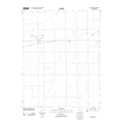
2012 Map of Mullinville
USGS Topo · Published 2012About this map
The settlement of Joy and the industrial landscape of the Thach Gas Field define this portion of the Kansas plains. This survey documents the area's transition from traditional agricultural and water-management features like Cossell Lake to modern energy extraction. The grid of the township is interrupted by the meandering courses of Rattlesnake Cr and the S Br Rattlesnake Cr, which dictate the drainage patterns across these high plains. Near the western edge of the quadrangle, the local infrastructure is anchored by Hillcrest Cem and the central street network, including Kingman Ave and Wall Ave. The map also captures the headwaters of Middle Kiowa Cr, illustrating the vital role of intermittent waterways in Kiowa County's geography.
Find a feature on this map
17 named features on this map. Tap any name to fly to it.
Don’t see what you’re looking for? This feature index may not catch every label — zoom into the map to look around manually.
Map Details
Editions of this 2012 Mullinville Map
This is the sole edition of this map. No revisions or reprints were ever made.
Other maps of this area

1889 · Kinsley
USGS Topo · 1:125,000

1892 · Kinsley
USGS Topo · 1:125,000

1892 · Spearville
USGS Topo · 1:125,000

1892 · Coldwater
USGS Topo · 1:125,000

1894 · Spearville
USGS Topo · 1:125,000

1894 · Kinsley
USGS Topo · 1:125,000

1896 · Ashland
USGS Topo · 1:125,000

1955 · Pratt
USGS Topo · 1:250,000

1959 · Pratt
USGS Topo · 1:250,000

1969 · Bucklin NE
USGS Topo · 1:24,000