2022 Map of Mullinville
USGS Topo · Published 2022About this map
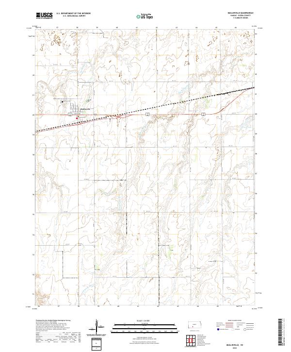
Mullinville stands at the center of this Kiowa County agricultural landscape, organized around its traditional street grid including Main St, Elm St, and South Ave. The town's local history is anchored by Hillcrest Cem on the northwestern edge of the settlement. The surrounding terrain is defined by the winding paths of Rattlesnake Cr and its tributary, S Br Rattlesnake Cr, which carve subtle drainage patterns through the prairie. To the east, the small community of Joy sits along the roadway, while Cossell Lake provides a rare contained water feature in this upland environment. The map details a dense network of county roads, such as Co Rd 12 and KC L St, that reflect the systematic division of the Kansas plains into productive farmsteads and rural reaches.
Find a feature on this map
34 named features on this map. Tap any name to fly to it.
Don’t see what you’re looking for? This feature index may not catch every label — zoom into the map to look around manually.
Map Details
Editions of this 2022 Mullinville Map
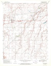
This is the sole edition of this map. No revisions or reprints were ever made.
Historical Maps of Joy Through Time
Featured Locations
- United States
- Kiowa County, KS
- Kiowa Rural Township, KS
- Joy, Kiowa Rural Township
- Mullinville, Kiowa Rural Township