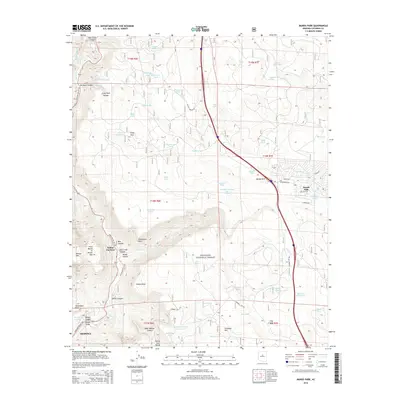
2014 Map of Munds Park
USGS Topo · Published 2014About this map
Sedona and the surrounding high country of the Coconino National Forest define this 2014 survey. The topography transitions from the red rock landmarks of the Verde Valley up to the forested plateau near Munds Park. Notable geological features such as Wilson Mtn, Steamboat Rock, and Schnebly Hill provide a clear view of the complex drainages and canyons that feed into Oak Creek Canyon.
Find a feature on this map
72 named features on this map. Tap any name to fly to it.
Don’t see what you’re looking for? This feature index may not catch every label — zoom into the map to look around manually.
Map Details
Editions of this 2014 Munds Park Map
This is the sole edition of this map. No revisions or reprints were ever made.
Other maps of this area

1886 · San Francisco Mtns
USGS Topo · 1:250,000

1887 · Verde
USGS Topo · 1:250,000

1891 · San Francisco Mtns
USGS Topo · 1:250,000

1892 · Verde
USGS Topo · 1:250,000

1894 · San Francisco Mtns
USGS Topo · 1:250,000

1899 · San Francisco Mtns
USGS Topo · 1:250,000

1908 · Flagstaff
USGS Topo · 1:125,000

1912 · Flagstaff
USGS Topo · 1:125,000

1923 · Camp Verde
USGS Topo · 1:125,000

1932 · Camp Verde
USGS Topo · 1:125,000