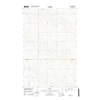
2014 Map of Munich SE
USGS Topo · Published 2014About this map
Starkweather Coulee meanders through this agricultural landscape at the border of Cavalier and Ramsey counties. This 2014 survey captures the precise grid of section roads and highway infrastructure in the rural plains north of Devils Lake. The most prominent corridor is Nd-20, which runs north-south through the western portion of the map, providing a primary link between local townships. The terrain is defined by subtle elevation changes and the natural drainage patterns of the coulee, which is flanked by a dense network of local roads including 83rd Ave NE and 80th St NE. These surveyed boundaries and thoroughfares reveal the enduring footprint of North Dakota's homestead-era land division in the early 21st century.
Find a feature on this map
17 named features on this map. Tap any name to fly to it.
Don’t see what you’re looking for? This feature index may not catch every label — zoom into the map to look around manually.
Map Details
Editions of this 2014 Munich SE Map
This is the sole edition of this map. No revisions or reprints were ever made.
Other maps of this area

1953 · Devils Lake
USGS Topo · 1:250,000

1956 · Devils Lake
USGS Topo · 1:250,000

1962 · Starkweather
USGS Topo · 1:24,000

1962 · Starkweather NE
USGS Topo · 1:24,000

1970 · Alsen
USGS Topo · 1:24,000

1970 · Hampden
USGS Topo · 1:24,000

1970 · Munich
USGS Topo · 1:24,000

1971 · Calio
USGS Topo · 1:24,000

1971 · Munich SW
USGS Topo · 1:24,000

1971 · Munich SE
USGS Topo · 1:24,000