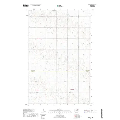
2017 Map of Munich SE
USGS Topo · Published 2017About this map
Alsen serves as the primary settlement on this northern prairie landscape, situated in the northeast corner of a high-plains region defined by its glacial pothole drainage. The terrain is notably marked by the Starkweather Coulee, which meanders across the northern and southern sections of the survey area, indicating the natural water flow through this agricultural heartland. The map documents the boundary between Cavalier County and Ramsey County, specifically along 78th St NE, providing a clear record of jurisdictional lines amidst the section-line road grid. This rectilinear network, including routes like 83rd Ave NE and 87th Ave NE, illustrates the enduring influence of the Public Land Survey System on North Dakota's rural development and land use patterns.
Find a feature on this map
22 named features on this map. Tap any name to fly to it.
Don’t see what you’re looking for? This feature index may not catch every label — zoom into the map to look around manually.
Map Details
Editions of this 2017 Munich SE Map
This is the sole edition of this map. No revisions or reprints were ever made.
Other maps of this area

1953 · Devils Lake
USGS Topo · 1:250,000

1956 · Devils Lake
USGS Topo · 1:250,000

1962 · Starkweather
USGS Topo · 1:24,000

1962 · Starkweather NE
USGS Topo · 1:24,000

1970 · Alsen
USGS Topo · 1:24,000

1970 · Hampden
USGS Topo · 1:24,000

1970 · Munich
USGS Topo · 1:24,000

1971 · Calio
USGS Topo · 1:24,000

1971 · Munich SW
USGS Topo · 1:24,000

1971 · Munich SE
USGS Topo · 1:24,000